Sponsored

What's Your Tools and Methods for Navigation?

ecoBLVE

Member
First Name
Danny
Joined
Oct 1, 2023
Threads
0
Messages
13
Reaction score
18
Location
Atlanta
Vehicle(s)
2021 Jeep JL EcoDiesel
You're able to somehow tap into the Jeep's GPS? That's an interesting idea.
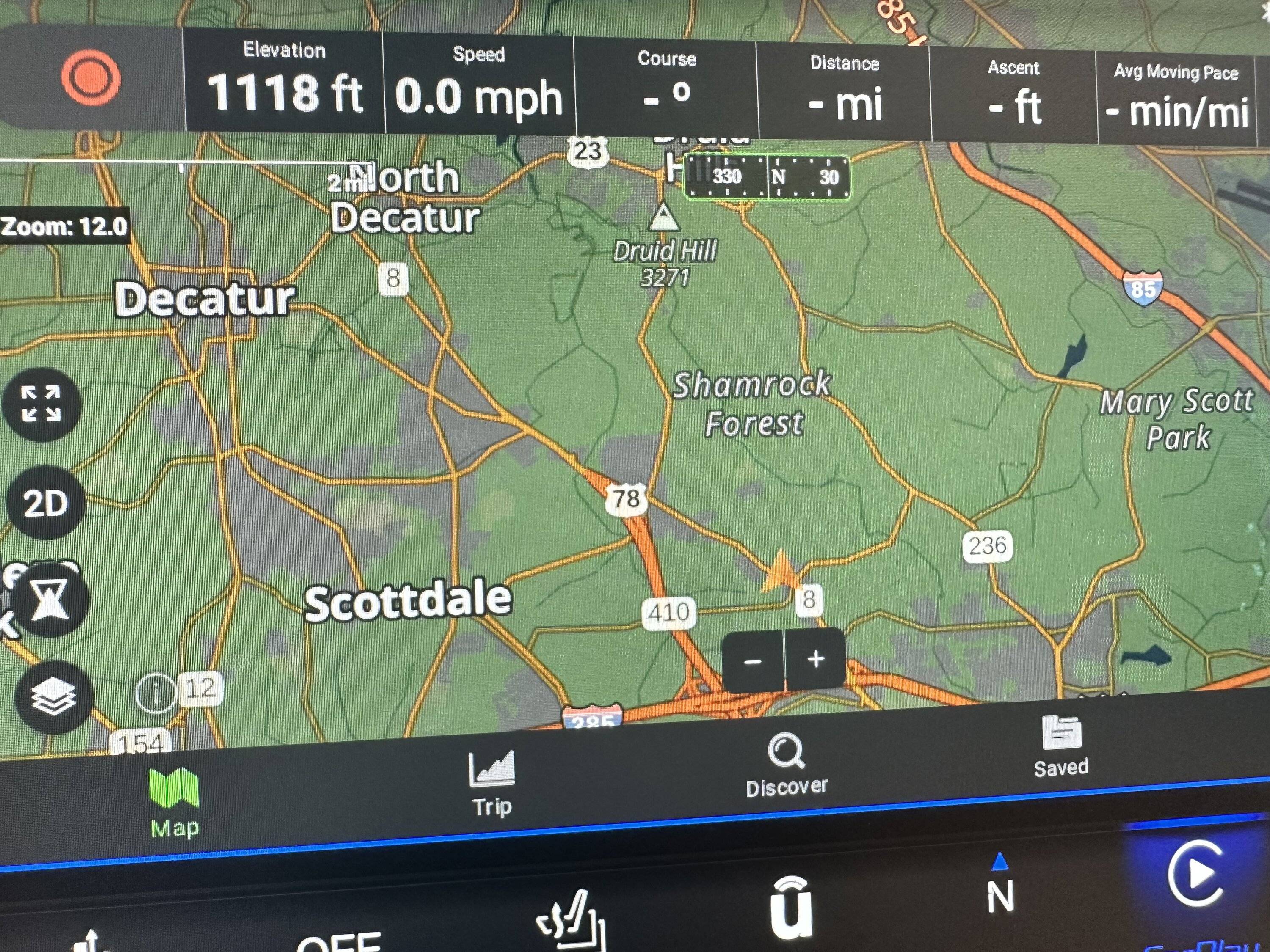
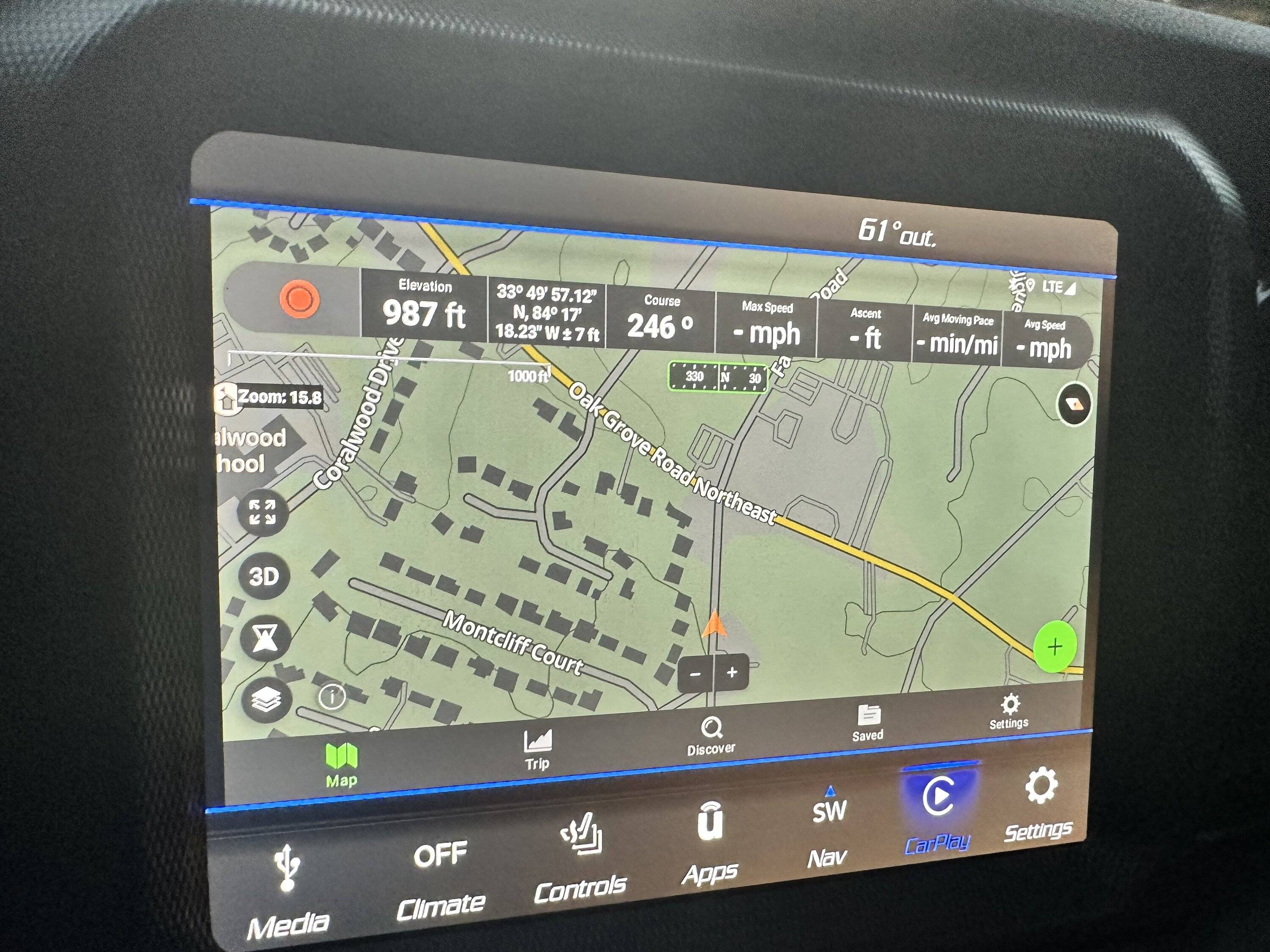
Generally speaking if your car has any navigation (not sxm radio only), then the GPS antenna is installed and its output digitized and made available on CAN Bus. But let’s not go too deep. GPS is everywhere and can be acquired with a frying pan.

Dont fall for gimmicks, use what your car already has.
Sponsored


Cyber_Jeeper

Well-Known Member
Joined
Jan 16, 2022
Threads
5
Messages
179
Reaction score
253
Location
Utah
Vehicle(s)
2022 JLUR
Downloading is also orders of magnitude easier with TOR. You just select the state instead of trying to guess which little rectangle you'll need.
Downloading is probably my biggest complaint about OnX. I’m planning a several hundred mile long trek soon. In order to pre-download the maps I need to create 4 different medium level maps because I cannot change the size or shape of the rectangle. Just let me create whatever size rectangle I want, and then let me pick whatever resolution detail I want. Don’t force me into your pre-picked sizes. If you want to be really advanced, then give me an option to “Look at my saved route and download everything within 5 miles radius of it in high detail.”
 

Ratbert

Well-Known Member
First Name
John
Joined
Jun 20, 2020
Threads
159
Messages
15,995
Reaction score
24,928
Location
PNW
Vehicle(s)
2022 AEV JL370 JLURD
Build Thread
Link
Occupation
Software Engineer
Clubs
 
Downloading is probably my biggest complaint about OnX. I’m planning a several hundred mile long trek soon. In order to pre-download the maps I need to create 4 different medium level maps because I cannot change the size or shape of the rectangle. Just let me create whatever size rectangle I want, and then let me pick whatever resolution detail I want. Don’t force me into your pre-picked sizes. If you want to be really advanced, then give me an option to “Look at my saved route and download everything within 5 miles radius of it in high detail.”
Have you tried Gaia? From what I understand it could be a good match for what you're trying to do. It does, however, have a stupidly steep learning curve that turned me away when I tried it out a few years ago.
 

rk911

Well-Known Member
First Name
Rich
Joined
Jun 23, 2023
Threads
16
Messages
747
Reaction score
1,220
Location
DuPage County IL
Vehicle(s)
'23 Wrangler Sport 2D, '10 Liberty, '46 Willys
Occupation
Retired and loving it!
I embrace technology but always like to have a plan b. when traveling I always have a current paper road map, usually in the form of a road atlas, in the vehicle.
 

Mx5red

Well-Known Member
First Name
Paul
Joined
May 6, 2020
Threads
25
Messages
1,676
Reaction score
2,665
Location
San Diego
Vehicle(s)
2020 JTR, 2020 JLUR
Build Thread
Link
The car itself has GPS antenna, but so does any tablet. Personally, I went ‘full ham’ and installed an aftermarket ‘CarPlay’ device, that taps into car GPS (but also enabled me to control apps like ARB Pressure Control, the Fridge, and Battery app). I run GAIA App on it as well and shows it all neatly on the car head unit. I recommend that for anyone without wireless carplay (pre 2022).

I did add bluepoint mount for other devices, and use GAIA on iPad Air on long trips. Bluepoint is great, but I did drill a hole in the center of it and added a fast usb-c charger for those devices to reduce clutter (hate dangling cables). There is way to — with some fabrication, find a tablet case you can attach to the 20mm amps ball so that it appears slimmer than the bluepoint tablet holder itself.

Specifically for navigation, GAIA + Trails OffRoad is great combo, as you can find trails in one and send the track to GAIA directly.

GPS signal is always available everywhere.

Good to use is the Jeep’s own cellular connectivity, as it will reduce reliance on phone connection, and the car’s cellular antenna is far better than that of a phone/tablet.

IMG_7421.jpeg


IMG_7430.jpeg
Can you give details into what you used to tap into the gps? Also, you mentioned tapping the cellular antenna. How? What do you connect to that?
You could add a lot more details or even start your first thread. I have not seen anyone talk about this.
 

Sponsored

ecoBLVE

Member
First Name
Danny
Joined
Oct 1, 2023
Threads
0
Messages
13
Reaction score
18
Location
Atlanta
Vehicle(s)
2021 Jeep JL EcoDiesel
This is interesting. How did you wire this up?
Which part? The charging plug is an easy tap into the 12VDC (like cigarette lighter). You can buy those on amazon, just get one that is fused. As I was adding a device that taps into media plug (needs more cables), I had to take out the head unit, and ran the wires behind it. Cut a small hole in the top of the dash to fit the charger, so as ling as it will be covered by something, in my case BulletPoint ruby rail, in which I drilled a hole to fit the power plug to.

As for the device that runs the Android OS on the head unit via ‘CarPlay’ connection, that required a few extra cables to hid it behind the dash. That appliance leverages car GPS (coordinates), that are broadcast on CAM Bus, but the appliance picks it up via media connection.

So far anywhere I’ve been the position was within millisecond of accuracy (based on GAIA map resolution).
 

ecoBLVE

Member
First Name
Danny
Joined
Oct 1, 2023
Threads
0
Messages
13
Reaction score
18
Location
Atlanta
Vehicle(s)
2021 Jeep JL EcoDiesel
Can you give details into what you used to tap into the gps? Also, you mentioned tapping the cellular antenna. How? What do you connect to that?
You could add a lot more details or even start your first thread. I have not seen anyone talk about this.
You don't tap into physical appliances. Cars are digitized now. GPS is broadcast as coordinates in CAN Bus, or on Media Plug, for devices that can pick it up. CAN Bus (bar) is under the glovebox if you need to tap into it.

Now, gimmicky aftermarket devices may not be built in a way that they can get the data from the vehicle, and force you add their own hardware, but that is an overkill.

There is no better solution other than what many over landers already know and use; TOR + GAIA, and if not broadcast on car’s head unit, then a brought-in tablet.

I highly recommend activating built-in jeep wi-fi hotspot as that is attached to a high gain antenna that will pick up cellular signal far better than phones or tablets, and give you tether-less high speed internet for all devices in the car.
 

Mx5red

Well-Known Member
First Name
Paul
Joined
May 6, 2020
Threads
25
Messages
1,676
Reaction score
2,665
Location
San Diego
Vehicle(s)
2020 JTR, 2020 JLUR
Build Thread
Link
You don't tap into physical appliances. Cars are digitized now. GPS is broadcast as coordinates in CAM Bus, or on Media Plug, for devices that can pick it up. CAM Bus (bar) is under the glovebox if you need to tap into it.

Now, gimmicky aftermarket devices may not be built in a way that they can get the data from the vehicle, and force you add their own hardware, but that is an overkill.

There is no better solution other than what many over landers already know and use; TOP + GAIA, and if not broadcast on car’s head unit, then a brought-in tablet.

I highly recommend activating built-in jeep wi-fi hotspot as that is attached to a high gain antenna that will pick up cellular signal far better than phones or tablets, and give you tether-less high speed internet for all devices in the car.
You mention a CarPlay device to run android. Could you provide a link and/or pictures to what you’re talking about?
So sometimes you use this other device to run Gaia, sometimes you use an iPad Air. I guess I’m not understanding what the extra gps device is doing as the Air has GPS built-in.
I thought the only reason people were using extra GPS dongles was because they were using an iPad or tablet without built in GPS… which, is also confusing if you’re saying the tablets should be picking up the GPS coordinates from the car if it’s plugged in to the media outlet.
 

Bayrat

Well-Known Member
First Name
DA
Joined
Apr 21, 2022
Threads
12
Messages
1,052
Reaction score
962
Location
NY and Fl
Vehicle(s)
2023 Rubicon 392 - 2024 Gladiator Sport BAREBONES
GPS with cell date on a tablet, also on a Garmin unit. Additionally, keep at least one compass, maps or charts and if at sea, a sextant.
 

Sponsored

Jeepeto

Well-Known Member
First Name
Josh
Joined
Jul 24, 2021
Threads
37
Messages
2,271
Reaction score
5,771
Location
North Texas
Vehicle(s)
2021 JLUR XR
Build Thread
Link
Occupation
Sparky
Vehicle Showcase
2
Clubs
 
Trails off road and Gaia play well together for us. We find trails on trails off road and export to Gaia. We’ve got onX too but it’s still in its infancy by comparison. Also the Charles A Wells “Funtreks” Moab book is a great resource out there.
 
OP
OP
roaniecowpony

roaniecowpony

Well-Known Member
Joined
Dec 4, 2018
Threads
194
Messages
12,911
Reaction score
20,419
Location
SoCal
Vehicle(s)
2018 JLUR, 14 GMC 1500 CC All TERRAIN
Occupation
Retired Engineer
I navigate with the sun and stars and the knowledge of my ancestors looking down upon me.
Just using the shadow of a squirrel's ass on a flat rock? Makes my sextant seem high tech.
 
OP
OP
roaniecowpony

roaniecowpony

Well-Known Member
Joined
Dec 4, 2018
Threads
194
Messages
12,911
Reaction score
20,419
Location
SoCal
Vehicle(s)
2018 JLUR, 14 GMC 1500 CC All TERRAIN
Occupation
Retired Engineer
I've been thinking about a mount and found some videos.


I like the Anvil Overland a bit more than the Vector or others.
Anvil Overland
 

ecoBLVE

Member
First Name
Danny
Joined
Oct 1, 2023
Threads
0
Messages
13
Reaction score
18
Location
Atlanta
Vehicle(s)
2021 Jeep JL EcoDiesel
You mention a CarPlay device to run android. Could you provide a link and/or pictures to what you’re talking about?
…. you’re saying the tablets should be picking up the GPS coordinates from the car if it’s plugged in to the media outlet.
The device I have plugged into media port is called CarLinkIt which is essentially a rooted Android OS device that allows me to run it on the HMI (head unit) using CarPlay protocol, which also picks up GPS coordinates from the car (CAN). I use this to have apps on the head unit otherwise not available for things I run in the car. Like ARB Pressure Control, EcoFlow battery, Dometic Fridge, etc. In addition I use GAIA app on the head unit, which works amazingly well. As it gets the GPS long/lat from the car, it is very accurate, otherwise it will default to cell tower triangulation, which would be useless when there isn't any.

When I use iPad (for bigger screen convenience), I am solely dependent on it doing all the work itself, which also works accurately as the iPad too has its own GPS antenna.

Jeep Wrangler JL What's Your Tools and Methods for Navigation? IMG_7441


Jeep Wrangler JL What's Your Tools and Methods for Navigation? IMG_7443


Jeep Wrangler JL What's Your Tools and Methods for Navigation? IMG_7444


Jeep Wrangler JL What's Your Tools and Methods for Navigation? IMG_7445


Jeep Wrangler JL What's Your Tools and Methods for Navigation? IMG_7447
 

Cyber_Jeeper

Well-Known Member
Joined
Jan 16, 2022
Threads
5
Messages
179
Reaction score
253
Location
Utah
Vehicle(s)
2022 JLUR
Have you tried Gaia? From what I understand it could be a good match for what you're trying to do. It does, however, have a stupidly steep learning curve that turned me away when I tried it out a few years ago.
Gaia is pretty good. I find it slightly easier to use than CalTopo, but I actually enjoy the complexity and capability of both. I just associate Gaia more with hiking than off-roading since it shows everything. This can make it difficult for route planning because it’s harder to narrow down what’s a hiking trail and what’s a Jeep width trail. But it is nice if you enjoy hiking and off-roading.

At the end of the day it seems like one tool can’t do it all. I enjoy the OnX/ Trails Offroad reviews and trail ratings. I find Google Earth has the best satellite resolution, but roads are a pain. Gaia and CalTopo are extremely powerful mapping tools, but aren’t off-road focused.
Sponsored


Top