3TV
Well-Known Member
- Joined
- Jan 7, 2018
- Threads
- 59
- Messages
- 2,581
- Reaction score
- 5,604
- Location
- Southwest USA
- Vehicle(s)
- 2022 JLUR 392, 2025 JLR
- Thread starter
- #1
I thought it would be interesting to start a thread where people post a picture of where they were at with their Jeep recently. Include a picture from the Jeep, or of the Jeep. But also include a picture of either your GPS screen or a point on a map so the rest of us can see where you are at, and what the Jeeping is like in that area. If you don't have a GPS screen or a map to show us where you are at, then at least a good description of where you are at will do the trick.
Pictures do not need to be extreme off-road trails, or spectacular scenery. We just want to see what it was like where you went Jeeping.
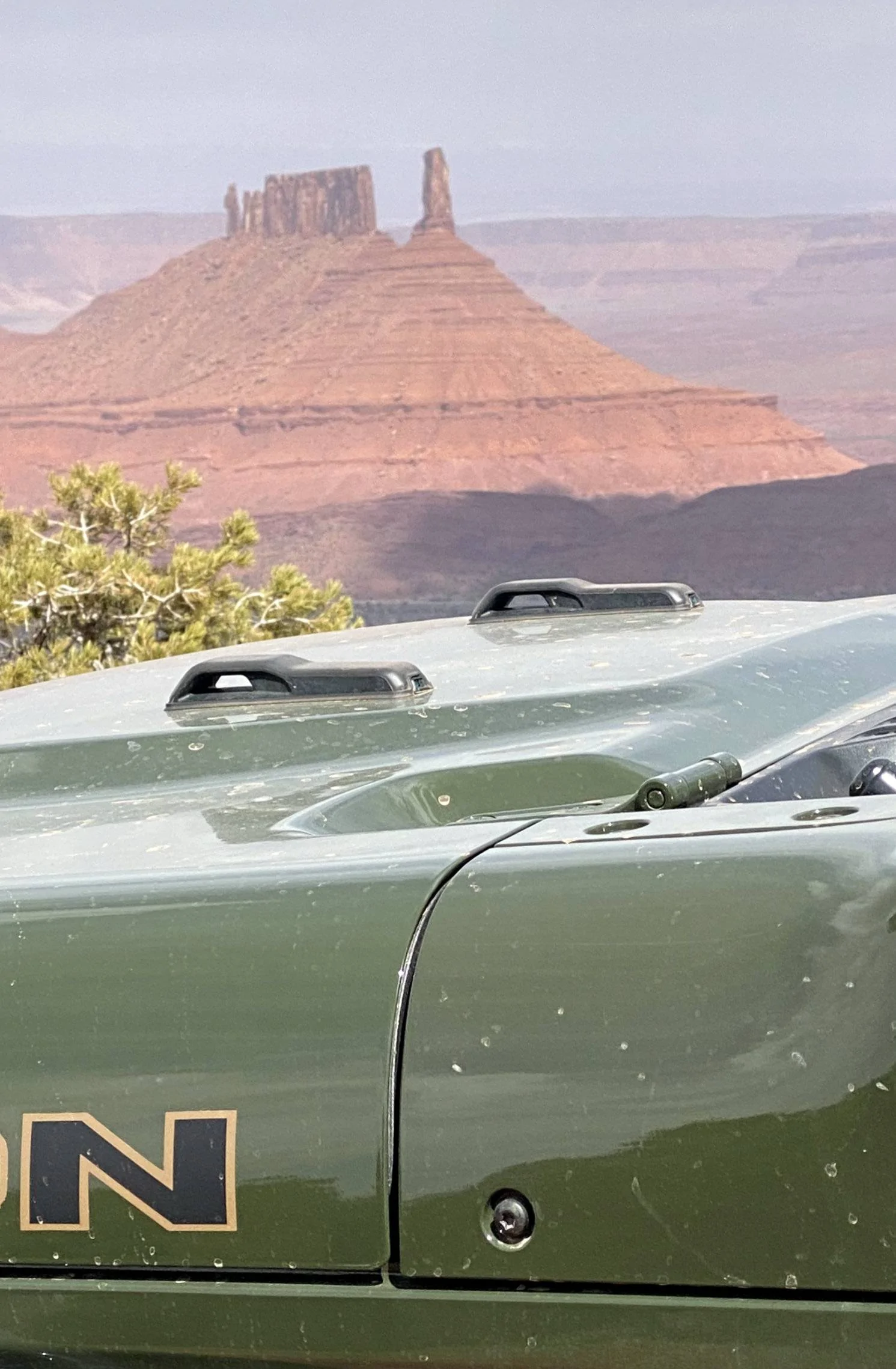
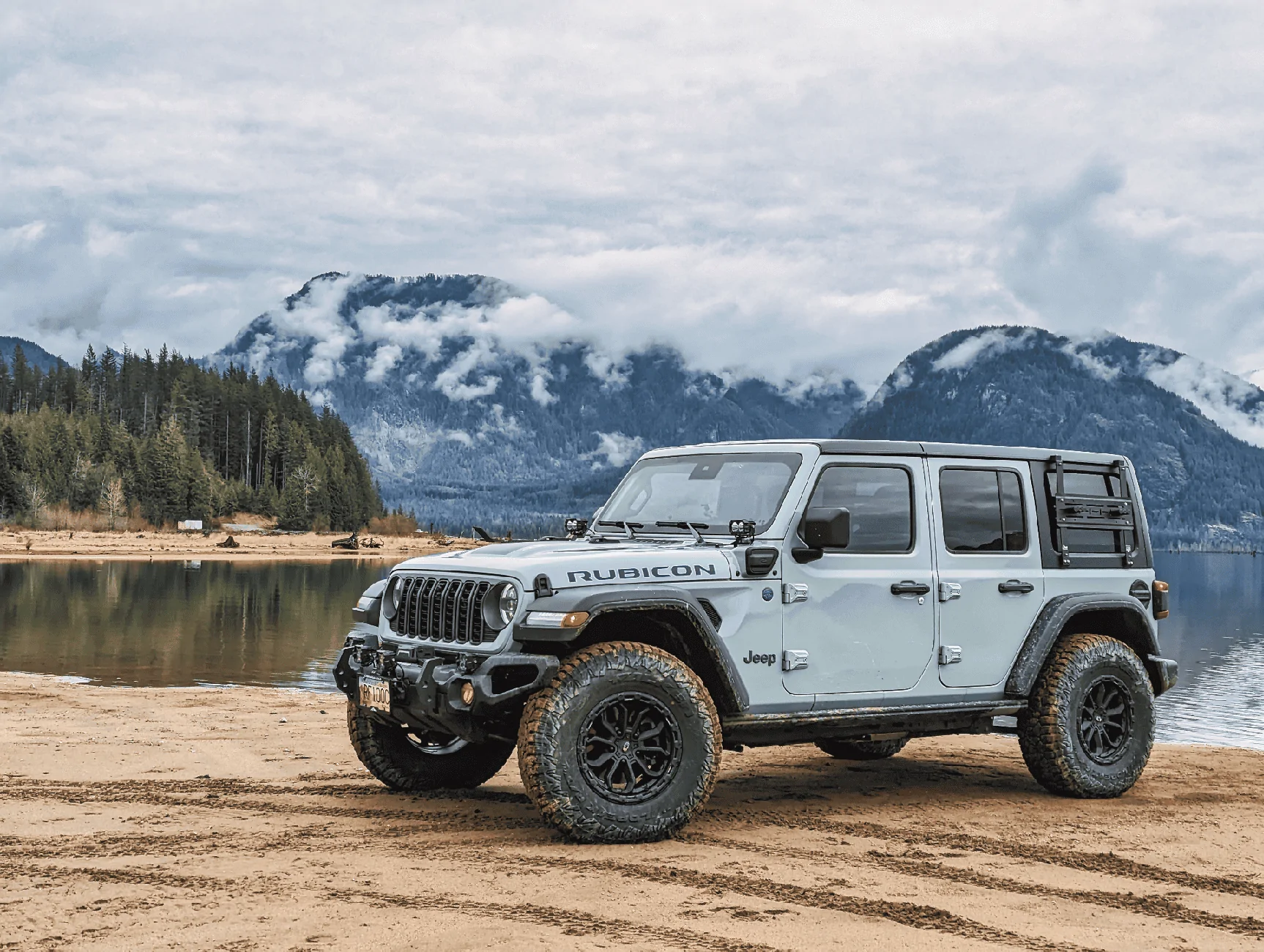
I'll start: From today... A picture of where I was. An 80-mile loop of dirt roads with typical high desert scenery. Only needed low range for one downhill.

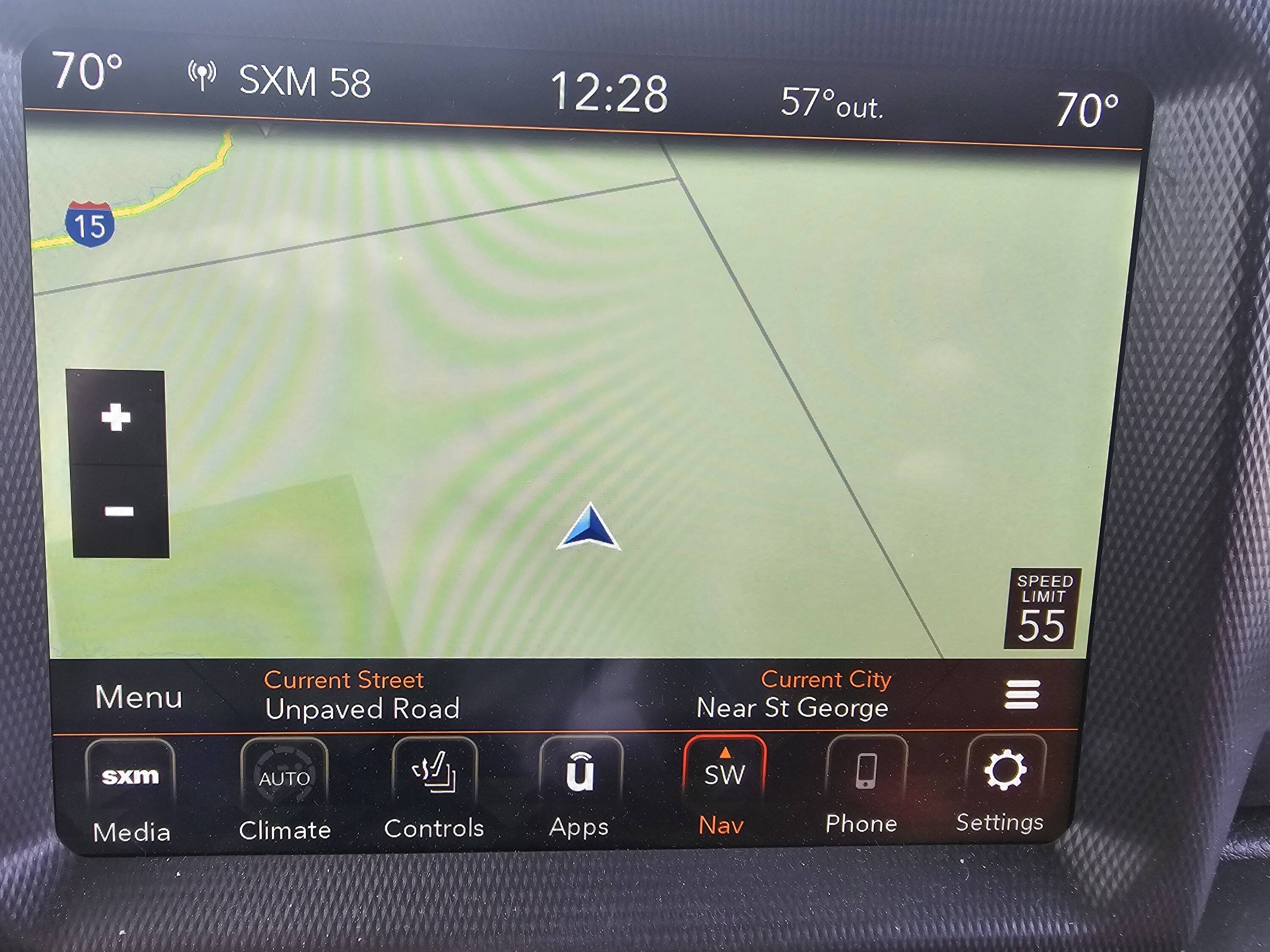
And here is the location: The GPS shows state boundaries, with my location being in Utah, and the boundary to the right of me being the Utah-Nevada border. The boundary in front of my location is the Utah-Arizona border, and you can see where I-15 goes through the Virgin River Gorge.
You take it from here. We'll see where this thread goes.
Pictures do not need to be extreme off-road trails, or spectacular scenery. We just want to see what it was like where you went Jeeping.
I'll start: From today... A picture of where I was. An 80-mile loop of dirt roads with typical high desert scenery. Only needed low range for one downhill.

And here is the location: The GPS shows state boundaries, with my location being in Utah, and the boundary to the right of me being the Utah-Nevada border. The boundary in front of my location is the Utah-Arizona border, and you can see where I-15 goes through the Virgin River Gorge.
You take it from here. We'll see where this thread goes.
Sponsored