SadRobot
Well-Known Member
- Joined
- Aug 31, 2019
- Threads
- 145
- Messages
- 7,516
- Reaction score
- 20,114
- Location
- Los Angeles
- Vehicle(s)
- 2025 Prius LE
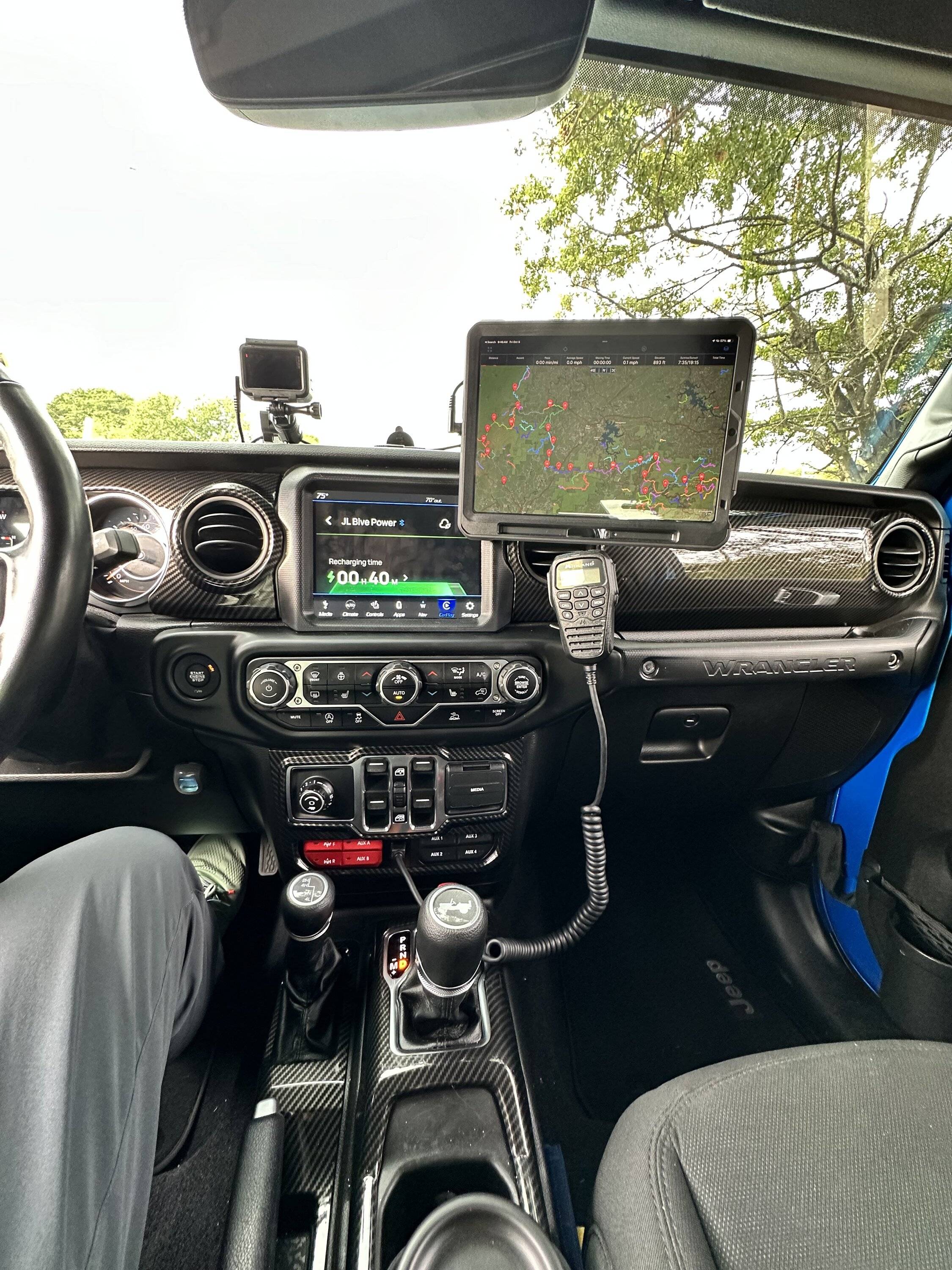
Yeah it's super helpful. I discovered it by mistake when I tapped on the 3 dots at the top middle to see what they did.I didn’t know you can split screen like that.. that’s pretty awesome
Sponsored