notacon
Active Member
- First Name
- John
- Joined
- Aug 8, 2020
- Threads
- 2
- Messages
- 30
- Reaction score
- 44
- Location
- Fountain Valley, Ca
- Vehicle(s)
- 2019 wrangler sport unlimited
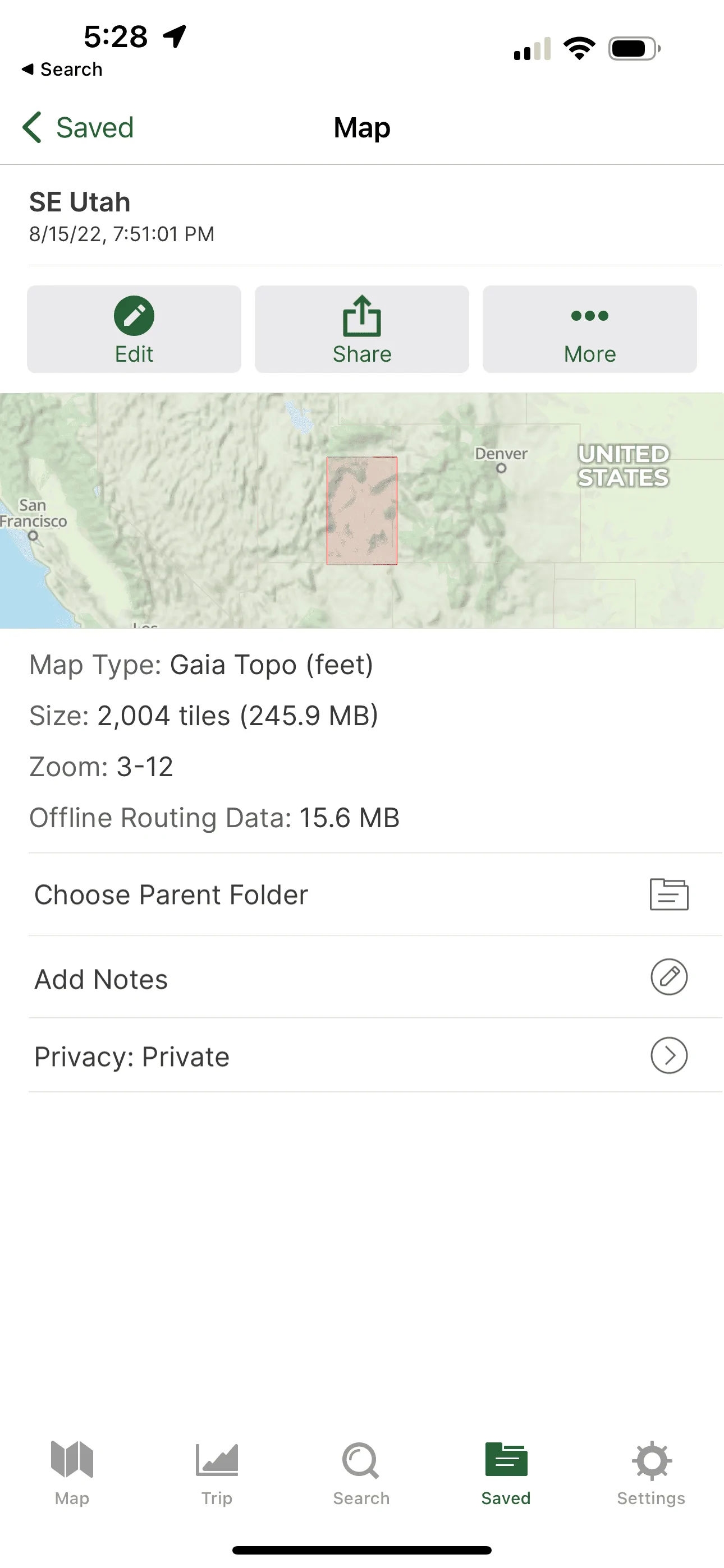
Sorry I forgot, the in-reach mini pairs to my iPad mini via blue tooth. I have no issue with not having real time location and tracking since I went to this system.
Sponsored
")