OP
OP
roaniecowpony
Well-Known Member
- Thread starter
- #16
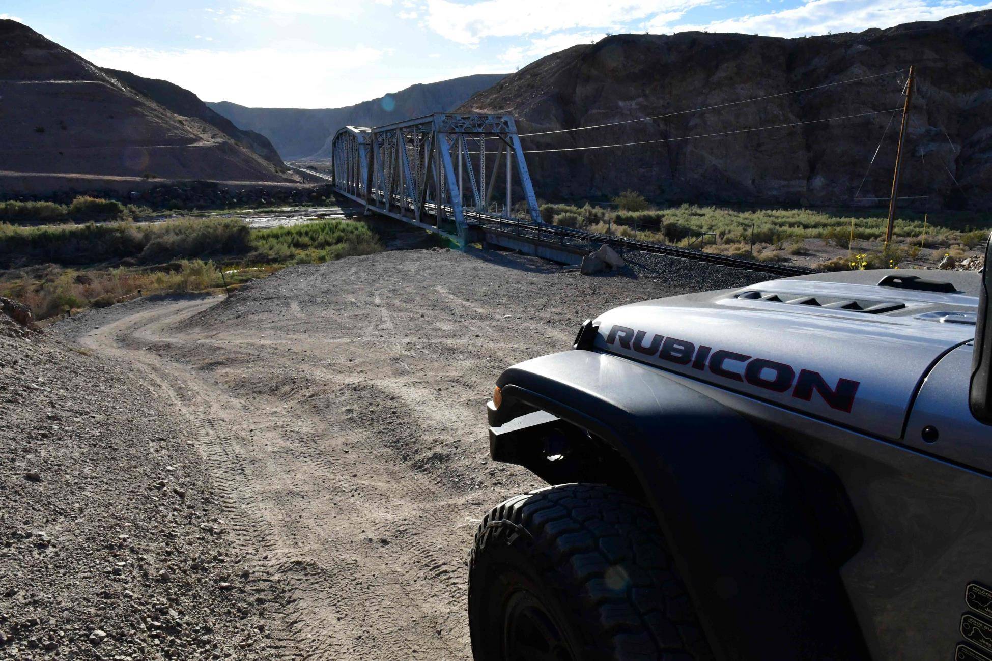
Were you in Afton Canyon recently? I hadn't been there in maybe 15 years.Cima road is going to be closed from the 15 to Cima for some time. Only a concern if you need to get gas there.
Zzyzx is closed. Kelso depot is closed. Neither a problem really.
The water crossing is Afton Canyon is now shallow. Due to one of the late summer rainstorms a lot of silt washed through and the road is actually above the wire fence in places.
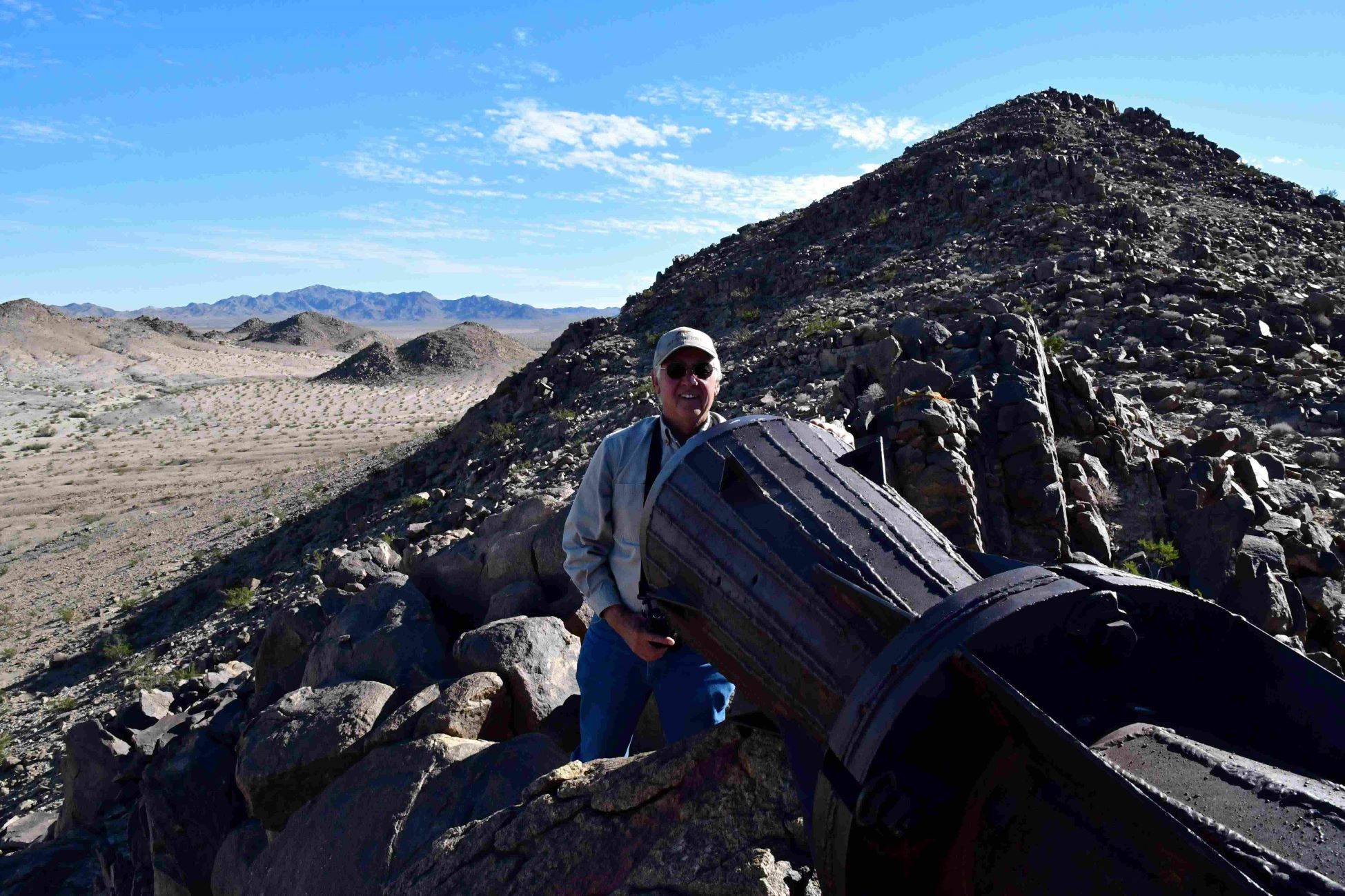
I'm interested to see how far the York fire burnt and hopefully Caruthers Canyon is unburnt.
34.91844, -116.65249 would be the Western end of the trail.
There's only one cabin I know of between Afton and Soda lake.
On the actual western end of the trail, it really isn't something I'm interested in running. Last I rode it in 1999 on horseback, I don't recall much intesting along the way until Afton. I wasn't actually trying to run it historically accurately, end to end.
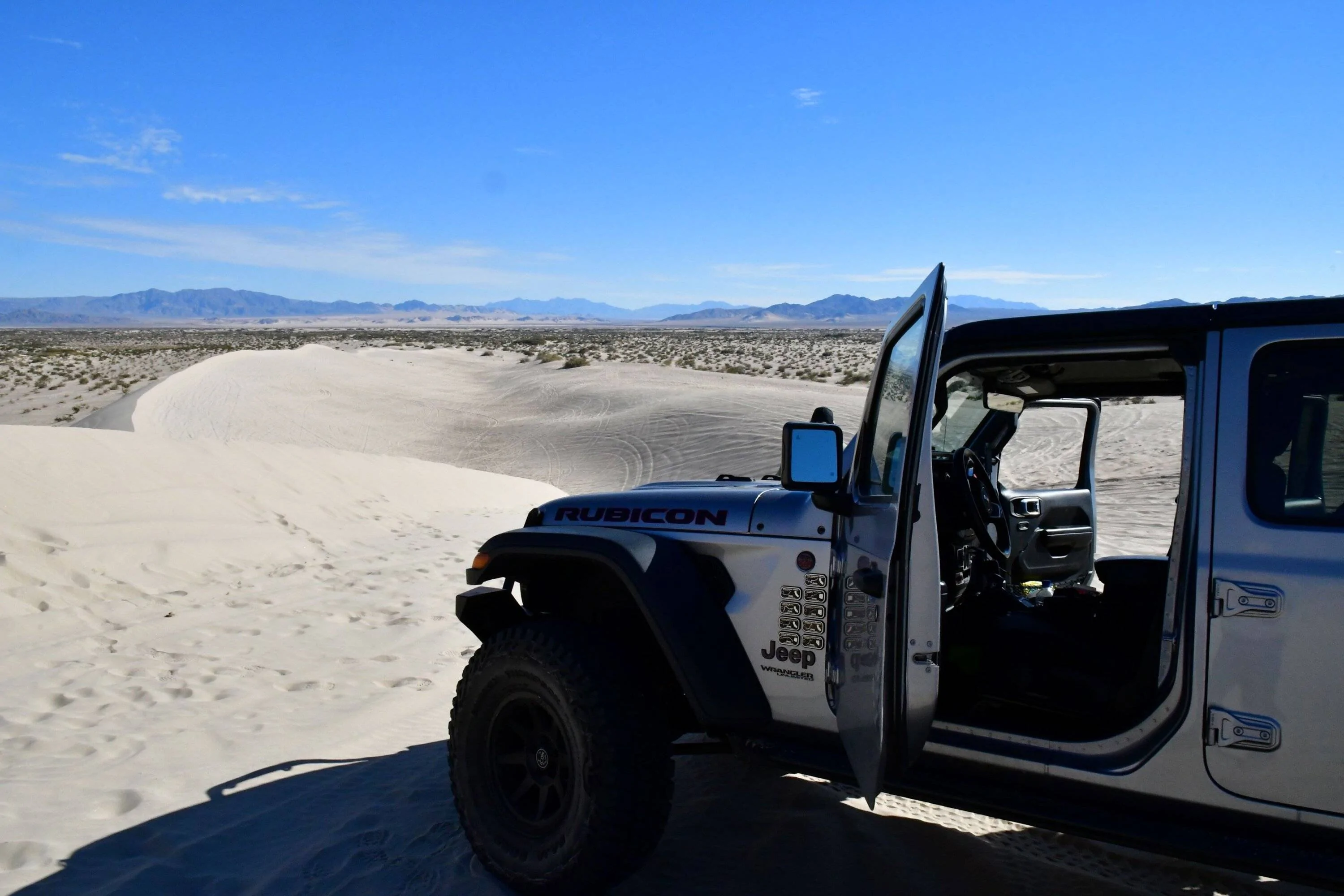
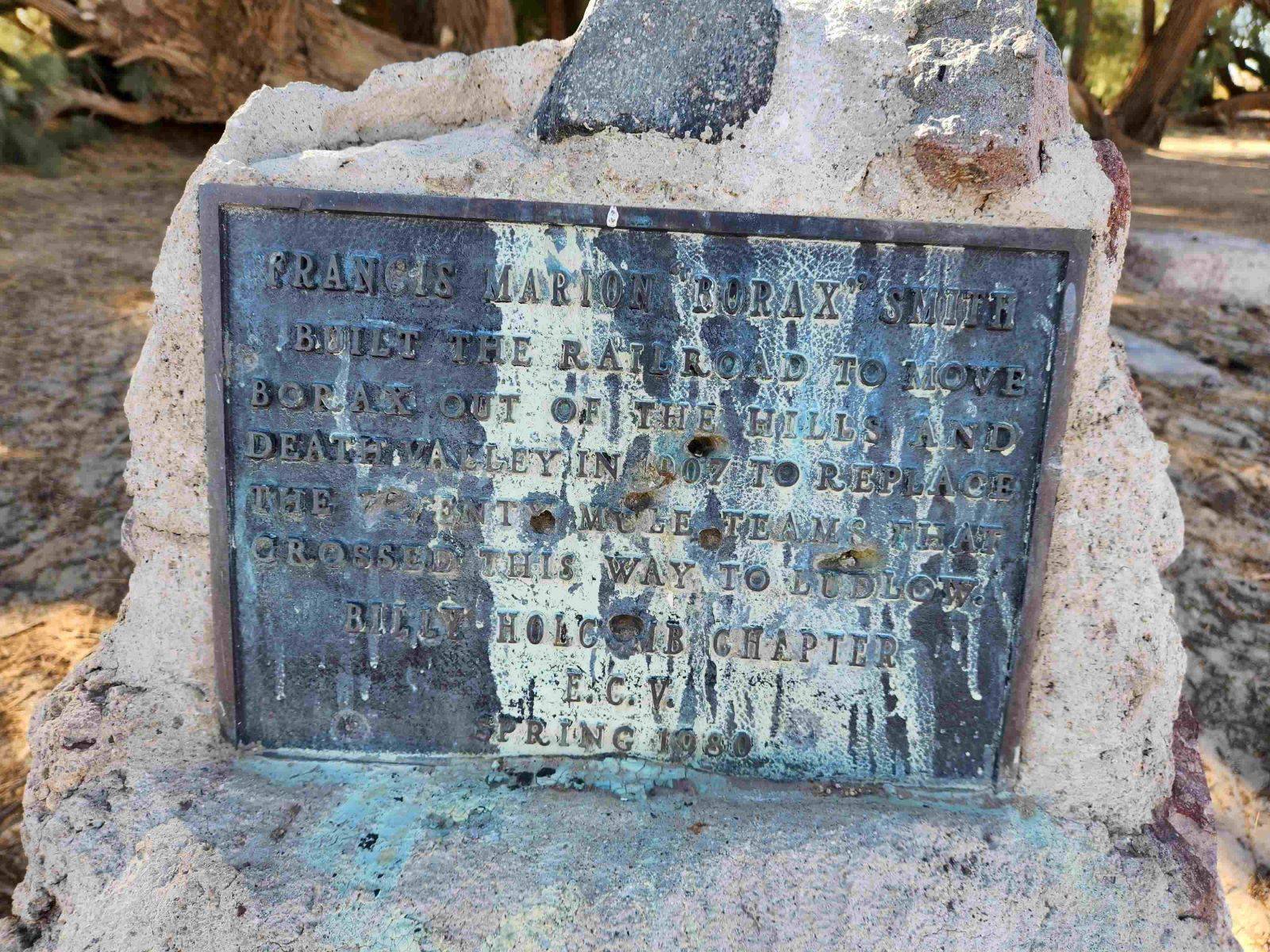
Last fuel before Afton is Harvard Rd on I-15. A friend, Dion, used to have a gas station at Afton in the old Stuckey's. But that closed many years ago. The next fuel is at I-15 and Razor Rd, then Baker. Since Cima Rd is closed, if you need fuel at that point, you'd have to get on Aiken rd to the west and go up to the station at Cima and I-15. The next closest fuel along the way is at the I-40 exit for Fenner/Goffs/Essex. After that, you can get fuel Fort Mojave. If we say the trail is 130 miles from first fuel to the end, you would have to average 7.6 mpg to make it with 17 gallons. I really don't know if that's possible in my rig, in the conditions on the trail. I'll try to get some sample burn rates on my scouting trips.
You should have seen two cabins. They are about 1/4 mile apart on the trail, between Basin and Rasor rd. Both have been there since before I started going out there in the 80s. My friend's place was probably built in the 40s or 50s. The one to the west of his was newer, maybe from the 60s.
Sponsored


")
