dchemphill1
Well-Known Member
- Thread starter
- #1
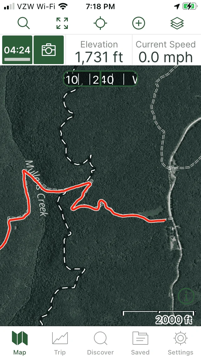
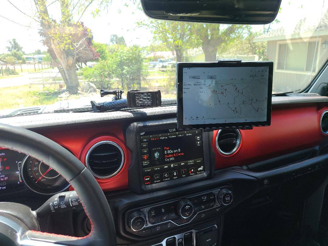
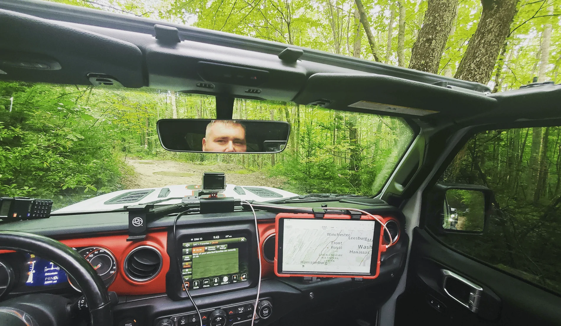
I am in the process of planning a trip to Colorado this coming July. I have me cell phone, installing GMRS radio, have an older GPS Garmin. What do I need to be using to follow the trails that I am planning on running....I see videos with what appears to be ipads, etc.... Another question, If planning on tent camping do we need to make reservations at national parks, state camp sites, etc....
Thanks for all the assistance on helping my wife and I plan an awesome, safe adventure.
Thanks for all the assistance on helping my wife and I plan an awesome, safe adventure.
Sponsored