vaJLUR
Well-Known Member
I use onX/carplay - it's worked well and the record track is quite nice. I typically pre plan on the web, download the area to the phone, and when we're at the trail we're good to go.
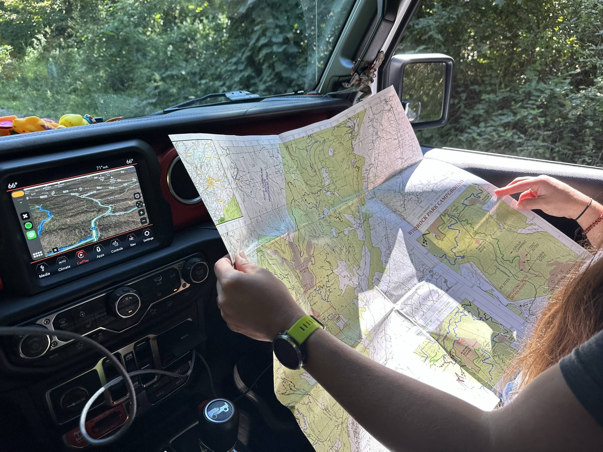
Maybe hard to see in this pic but here we have onX on the factory HU. Note that we clearly track on a paper map as well as it's a good practice for orienteering for the Mrs. and fun, too.

Maybe hard to see in this pic but here we have onX on the factory HU. Note that we clearly track on a paper map as well as it's a good practice for orienteering for the Mrs. and fun, too.
Sponsored