LAM
Well-Known Member
- First Name
- Larry
- Joined
- Jun 25, 2024
- Threads
- 8
- Messages
- 507
- Reaction score
- 875
- Location
- Bay Area California
- Vehicle(s)
- 2022 Sahara 4XE
- Thread starter
- #1
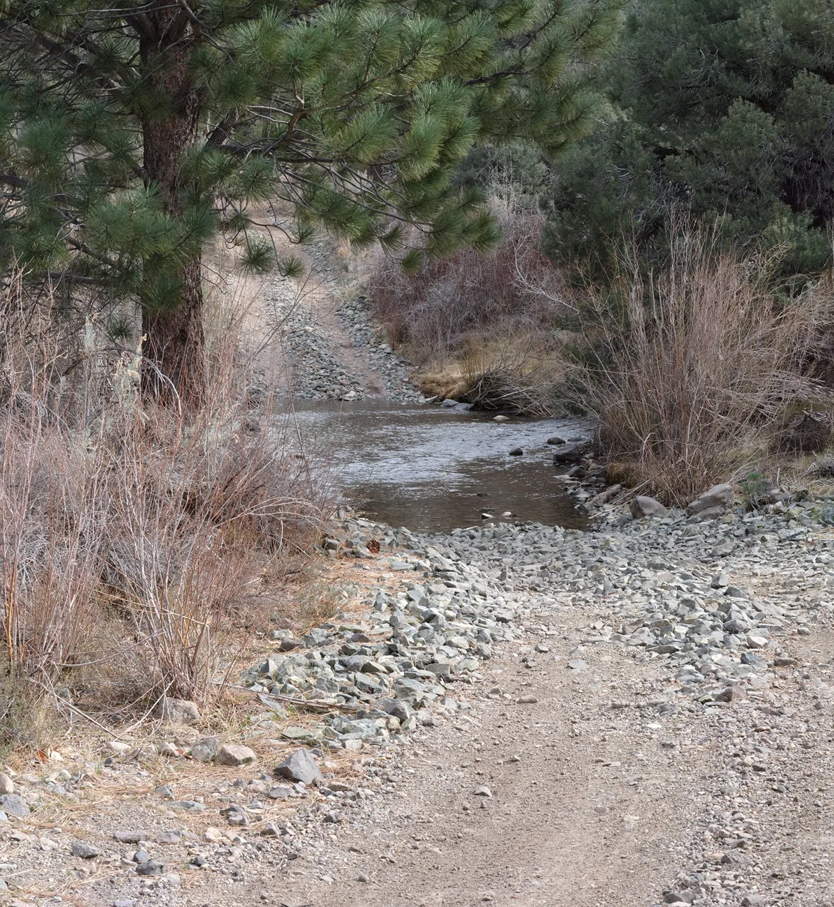
There were a couple places in Eastern Nevada’s Lyon County I wanted to scout out in this weekend trip. Tanked up in Gardnerville with cheaper than CA gas, south on 395, over to Wellington, then south to Desert Creek Road for the first night camping. That’s a pleasant tree lined road with numerous creek crossings.

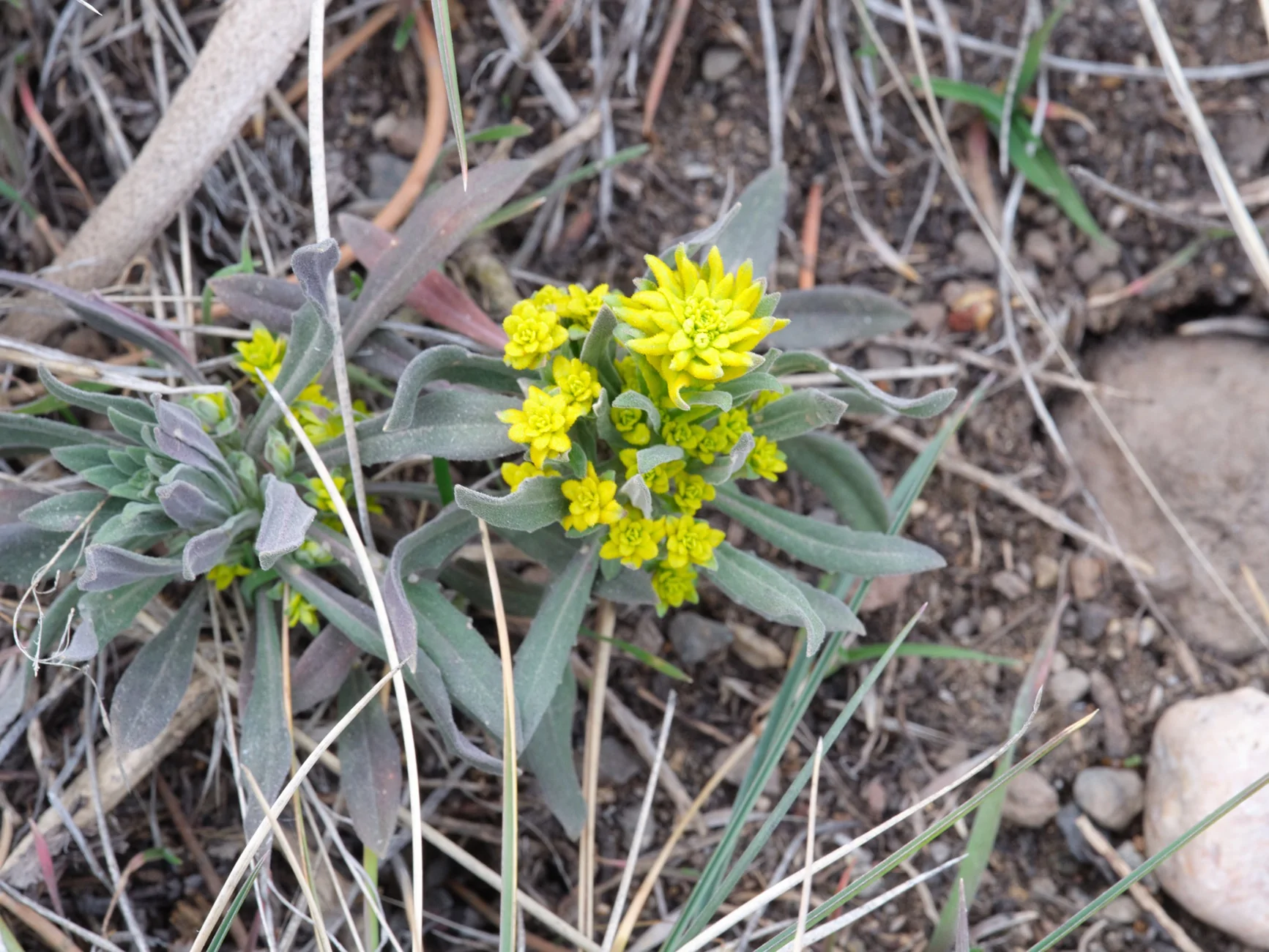
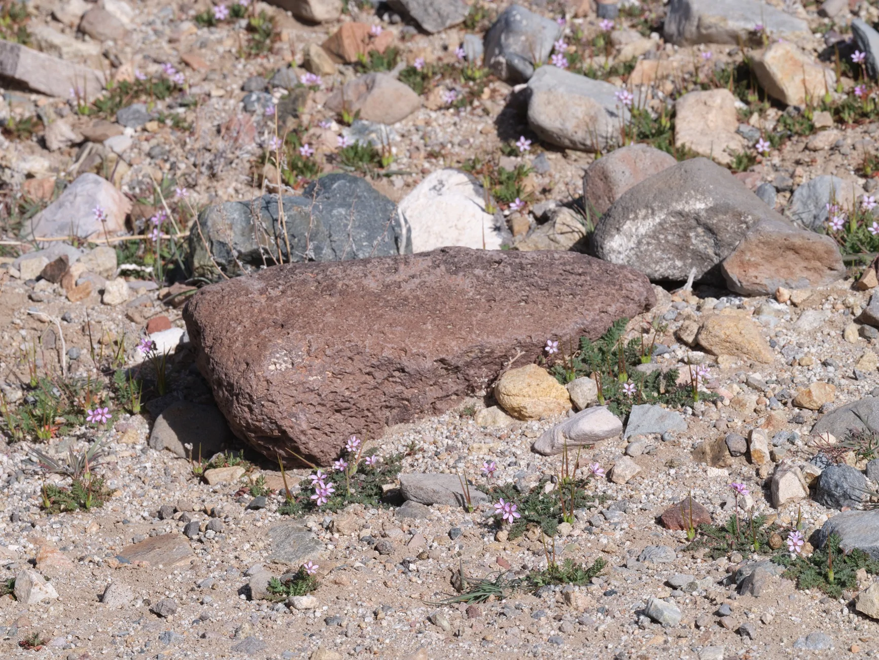
Found a flower. Still early.

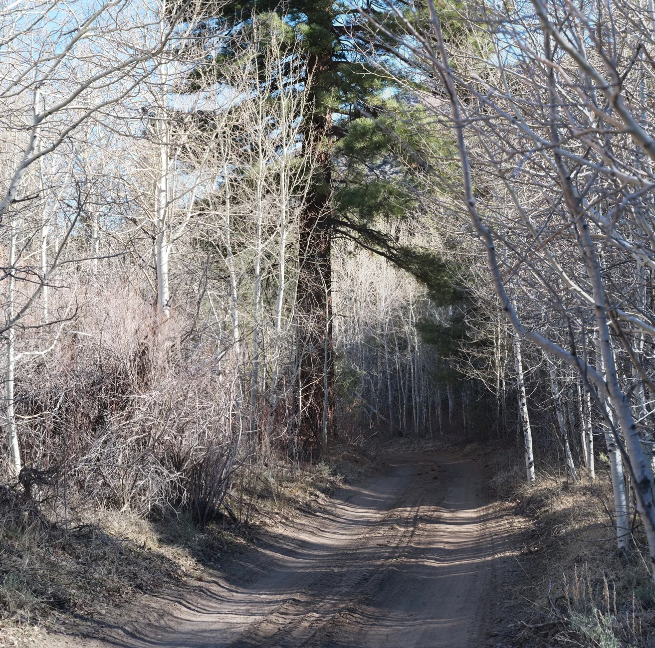
The aspen groves should be very pretty in the fall.

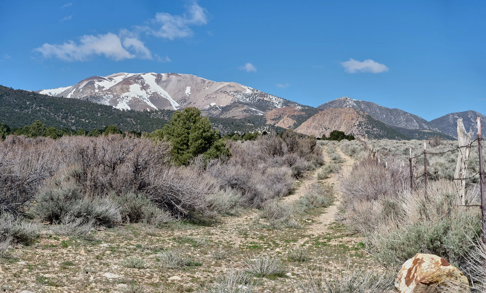
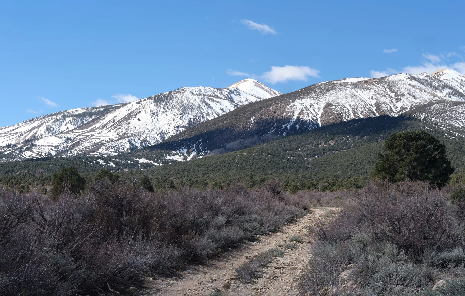
Then some wandering around where the Mt Patterson Pass road begins. This is at the California border.

Patterson Pass won’t be open until June or July but I thought I would drive up to snow level.

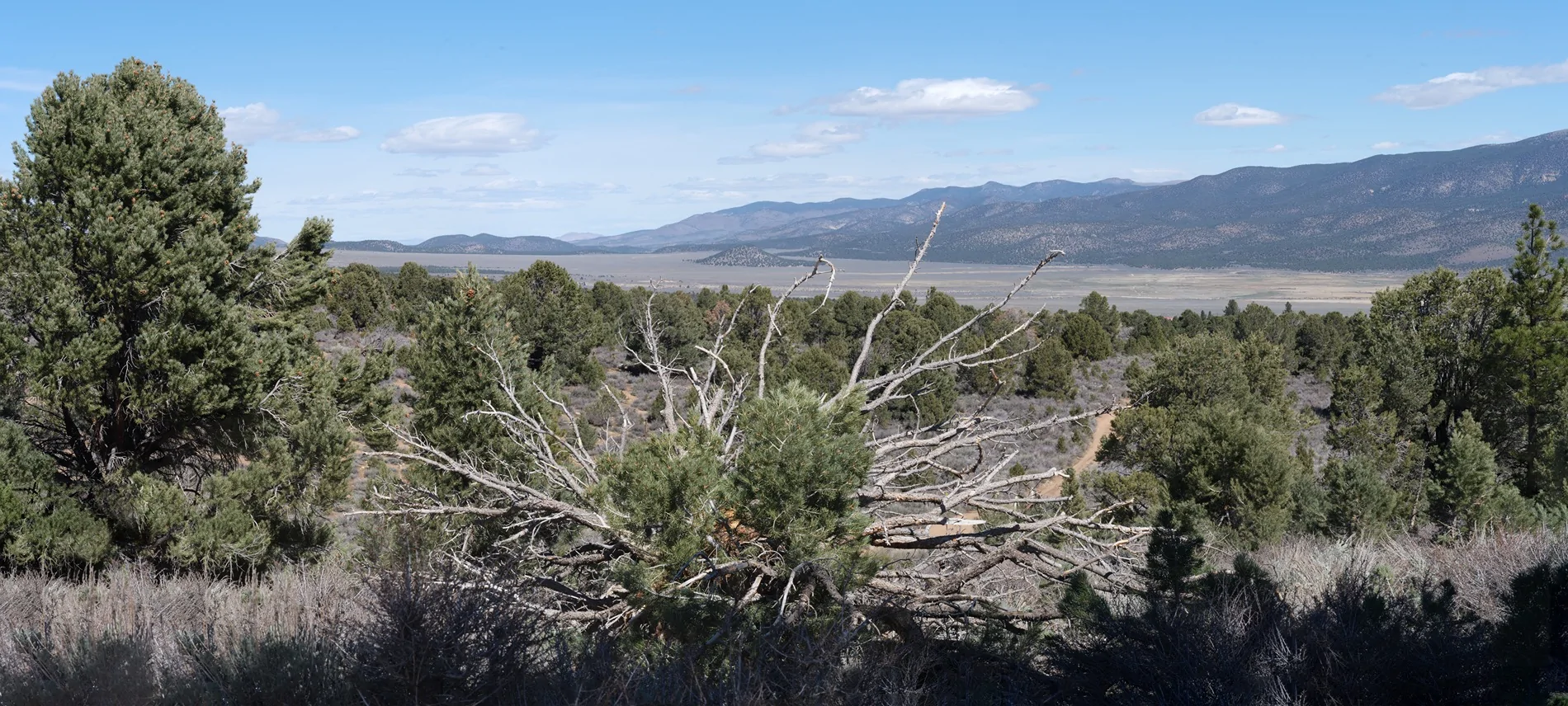
A view looking the other way.

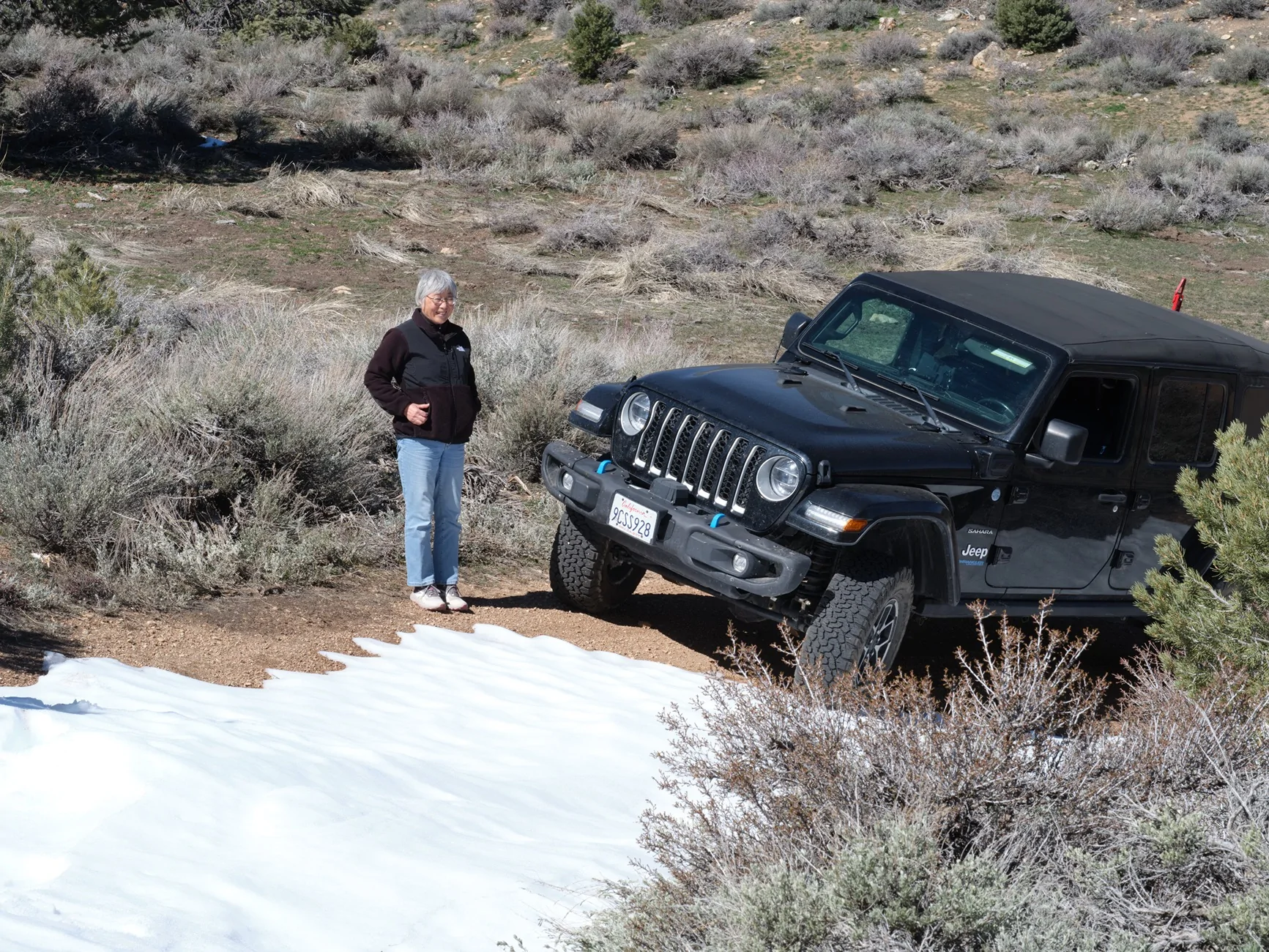
When we hit snow at 7500 feet my wife said it was time to turn around.
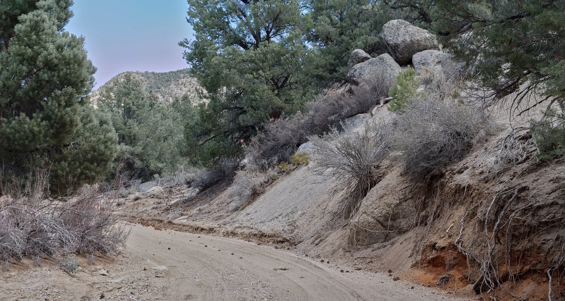
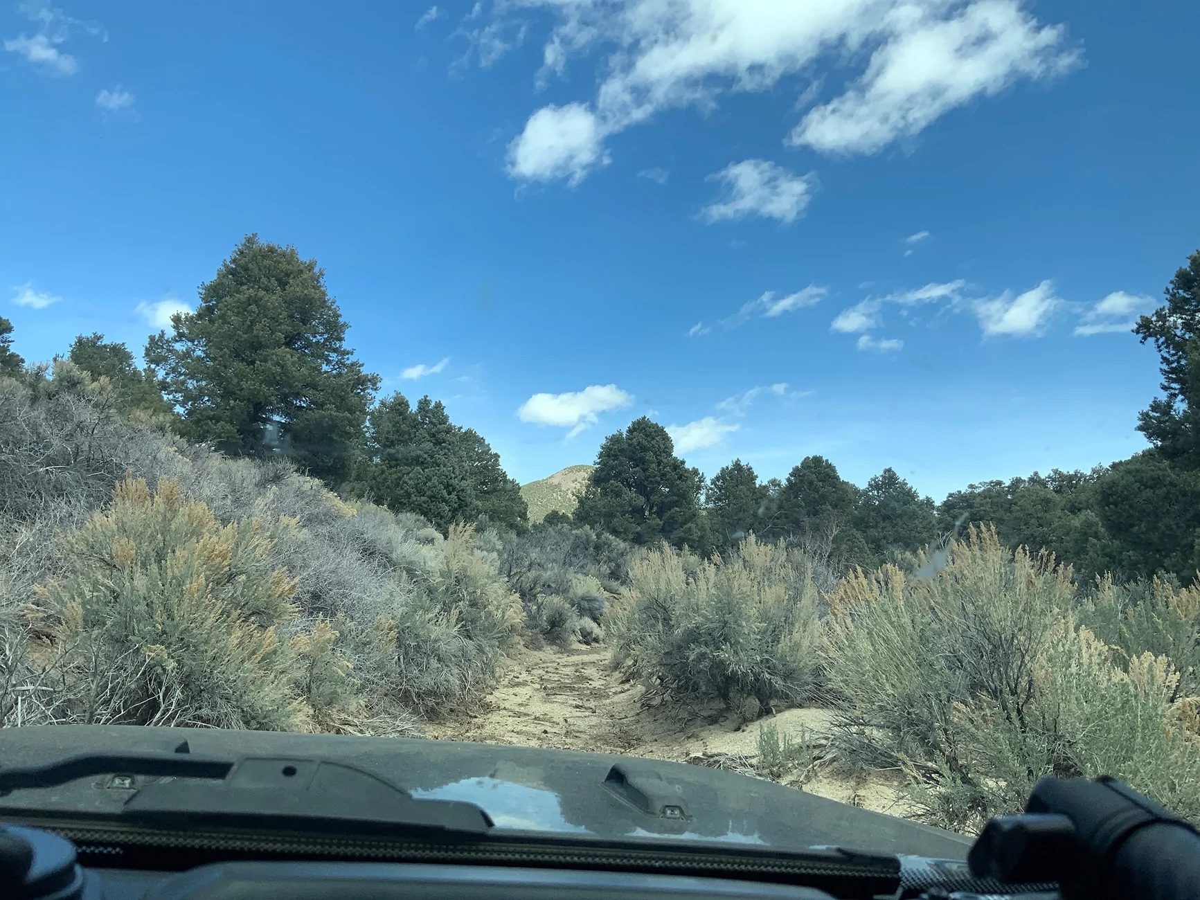
Down the hill then northeast towards the Pine Grove area. The Pine Grove ghost town is another of my wish list destinations but not planned for this trip. Sand Canyon indeed has sandy roads (not dusty sand).

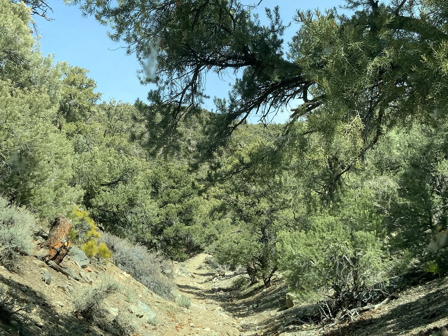
Things got worse climbing into the Cowboy Mine area.
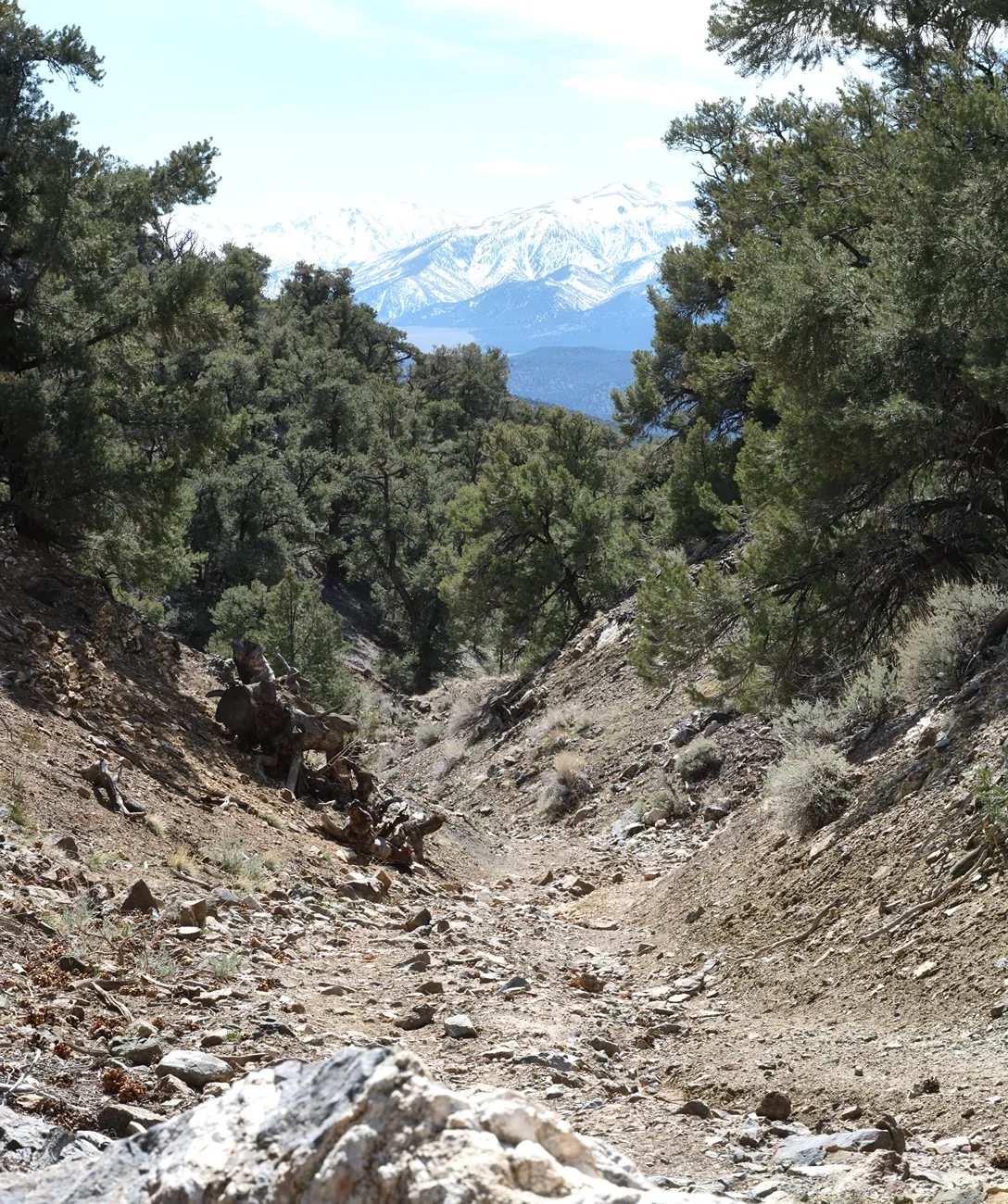
This road became a shared water gully. Don’t think anyone has been here in a while.
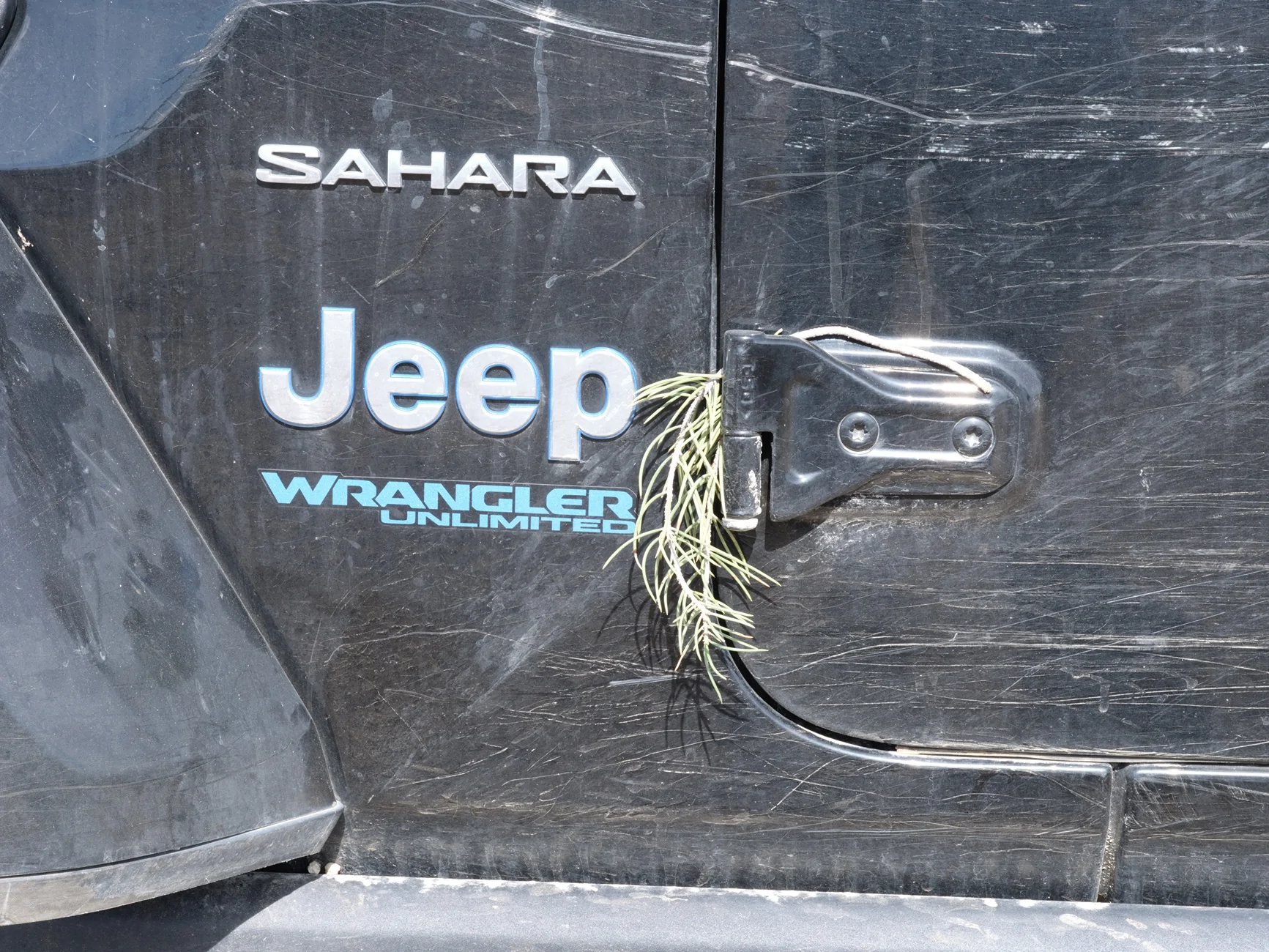
A bit of decoration. Guess it doesn’t matter because a 4XE has practically no residual value.
Tried another Cowboy Mine road. A little bit of 4LO.

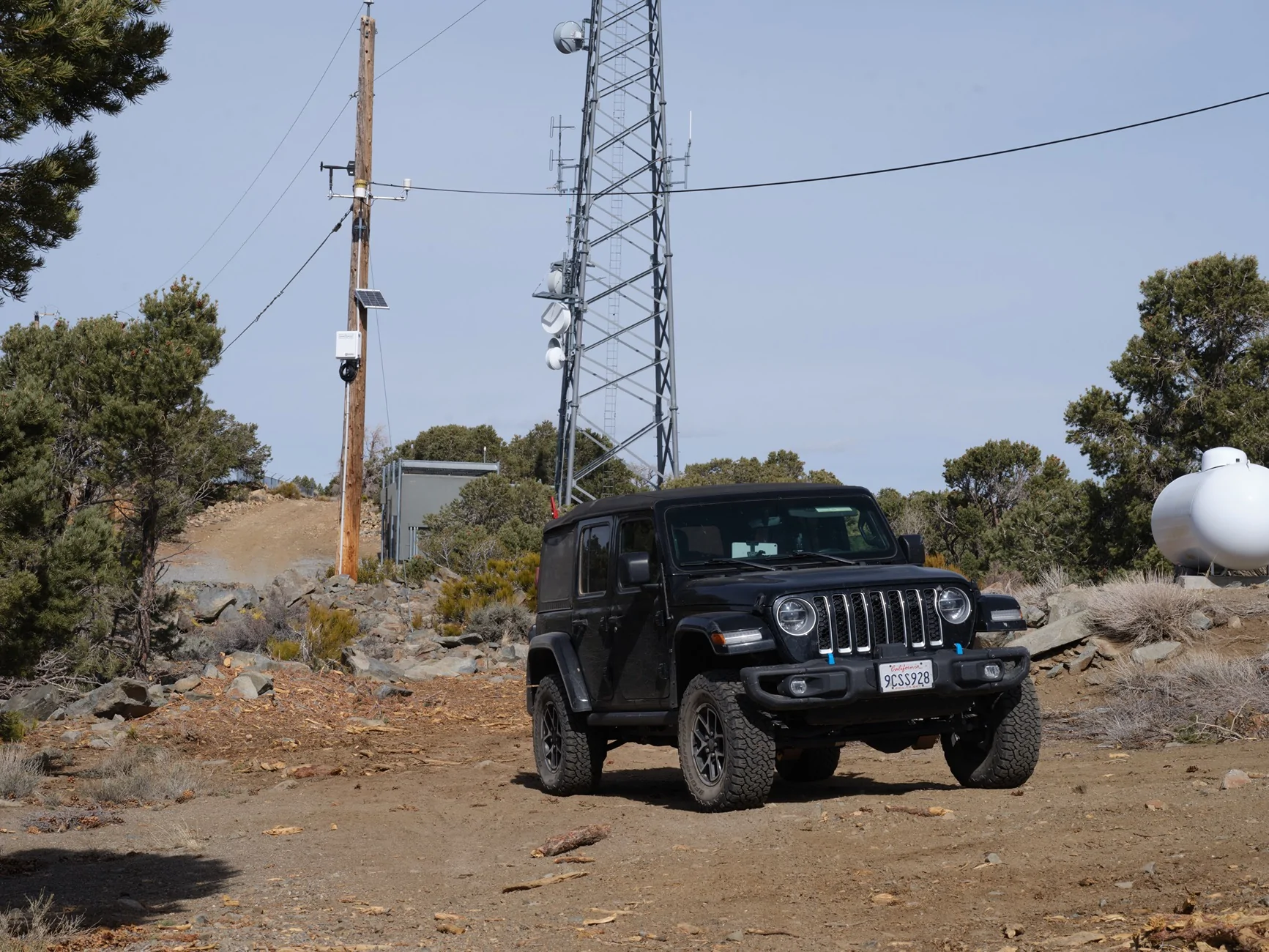
Bailed on this ‘road’ which was passable so far but might have taken a long time getting to the top of the mountain. Out to the highway then up Microwave Road for an easier way to the same mountain top, 8000 feet, for its views.
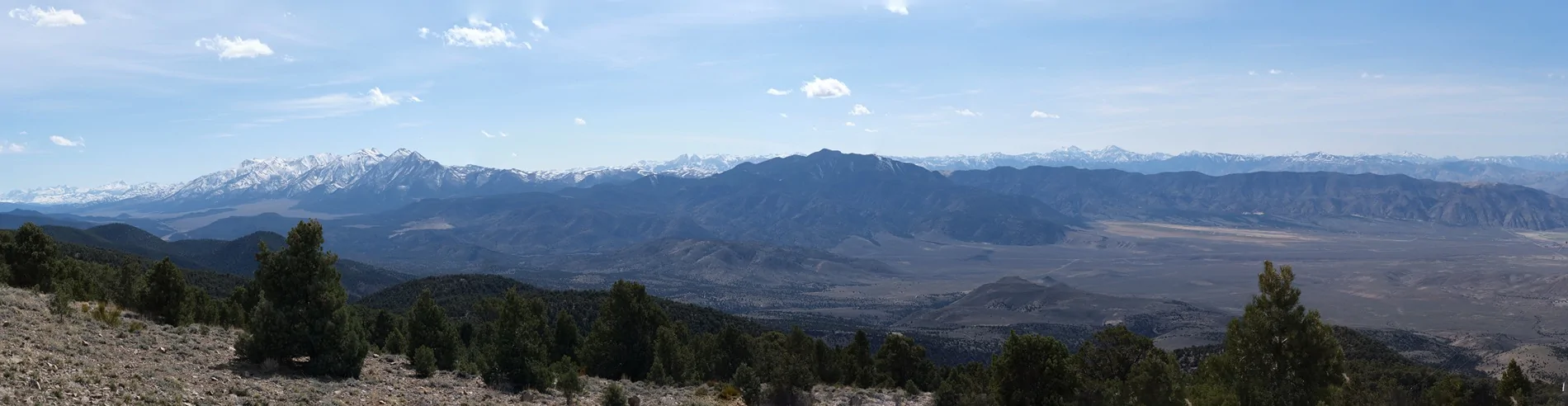
Anybody want a 870 megapixel panorama?

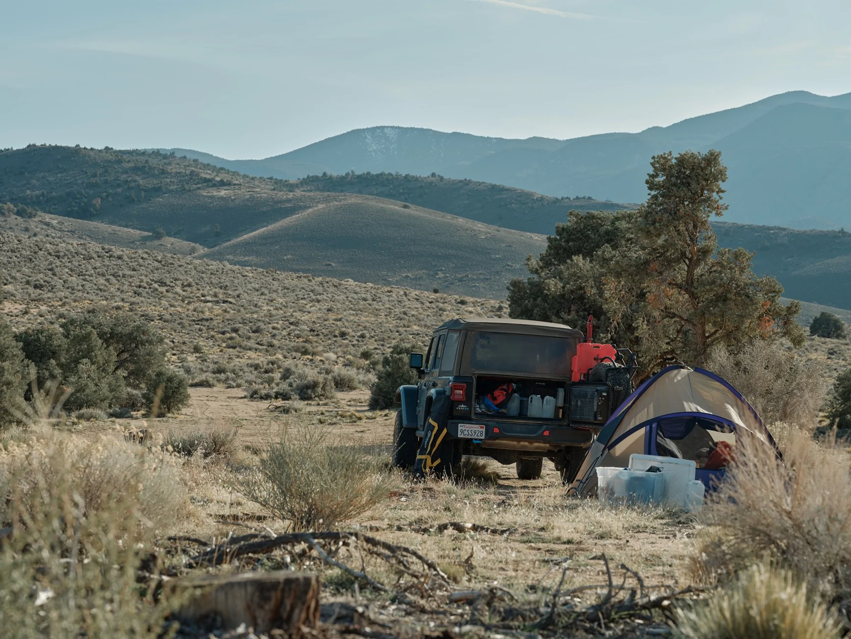
Back to the base of the mountain to a sandy campsite. Nights were cold but we had a few hours of warm sunshine left in the afternoons for wine and supper.
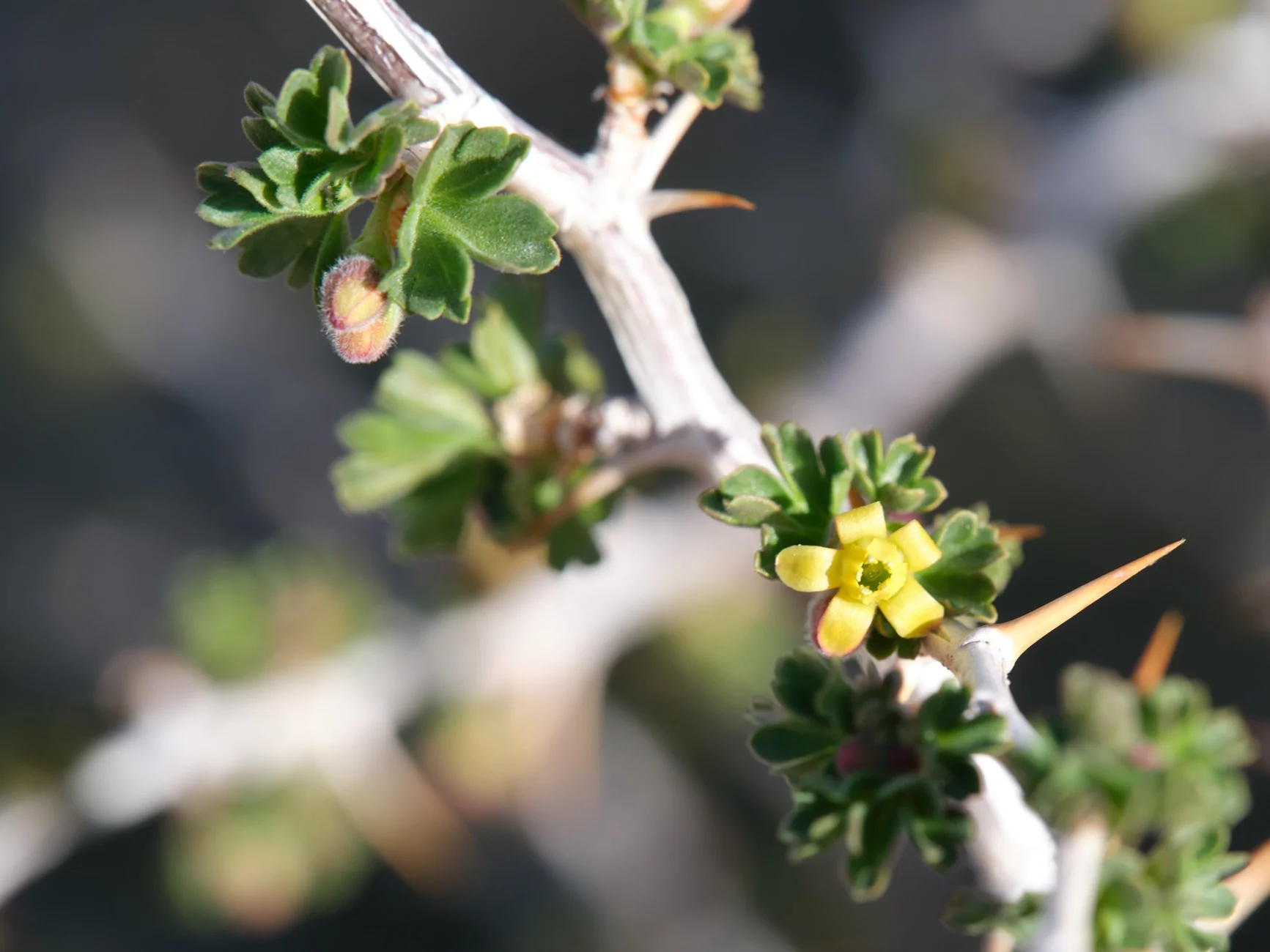
Nothing much happening in the desert; not a flower trip but here is a thorny bush with little tiny yellow flowers starting to open up - and lots of bees and moths excited to be there.
And some little purple flowers on the way out.
Gas had gone up 10 cents for the trip back home. Overall got my usual 21.9 mpg for the trip, on and off road, two trips over the Sierra.
Found a flower. Still early.
The aspen groves should be very pretty in the fall.
Then some wandering around where the Mt Patterson Pass road begins. This is at the California border.
Patterson Pass won’t be open until June or July but I thought I would drive up to snow level.
A view looking the other way.
When we hit snow at 7500 feet my wife said it was time to turn around.
Down the hill then northeast towards the Pine Grove area. The Pine Grove ghost town is another of my wish list destinations but not planned for this trip. Sand Canyon indeed has sandy roads (not dusty sand).
Things got worse climbing into the Cowboy Mine area.
This road became a shared water gully. Don’t think anyone has been here in a while.
A bit of decoration. Guess it doesn’t matter because a 4XE has practically no residual value.
Tried another Cowboy Mine road. A little bit of 4LO.
Bailed on this ‘road’ which was passable so far but might have taken a long time getting to the top of the mountain. Out to the highway then up Microwave Road for an easier way to the same mountain top, 8000 feet, for its views.
Anybody want a 870 megapixel panorama?
Back to the base of the mountain to a sandy campsite. Nights were cold but we had a few hours of warm sunshine left in the afternoons for wine and supper.
Nothing much happening in the desert; not a flower trip but here is a thorny bush with little tiny yellow flowers starting to open up - and lots of bees and moths excited to be there.
And some little purple flowers on the way out.
Gas had gone up 10 cents for the trip back home. Overall got my usual 21.9 mpg for the trip, on and off road, two trips over the Sierra.
Sponsored
Last edited:

