I can’t find much information on this trail and was wondering if anyone on here has any experience/info on Light Hill Road near Basalt. Supposedly it goes to the top of Mt. Sopris and along the ridge on top
Light Hill Road looks residential in Google Maps. Using Google and Gaia Maps, I do see Mt Sopris Trail that would be accessed from Dinkle Lake Rd. Using sat view in Google Maps, Mt Sopris Trail looks like rocky two-track. Also, it looks to be a foot hike to the top.
Trail Overview
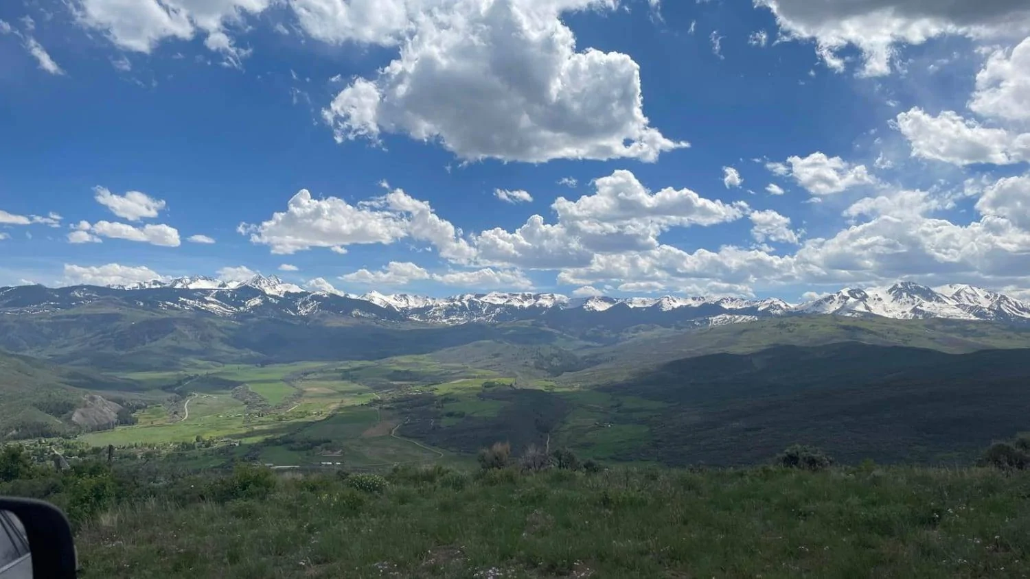
BLM Road #8334 is not challenging in itself, but presents great views. There are many spurs with plenty of space for camping. Each spur leads to a great view of the surrounding mountains, valleys, and towns. Wild flowers are in full bloom during the spring. The road that travels west along the ridge leads to a great view of Basalt. Photos of Light Hill Road
Difficulty
The road surface is mostly softball-sized rocks. The north side of the ridge is slightly overgrown and will pinstripe your vehicle. 12-18" ruts may be present if the trail was recently wet. 15 degree grades are frequent.