LAM
Well-Known Member
- First Name
- Larry
- Joined
- Jun 25, 2024
- Threads
- 9
- Messages
- 525
- Reaction score
- 917
- Location
- Bay Area California
- Vehicle(s)
- 2022 Sahara 4XE
- Thread starter
- #1
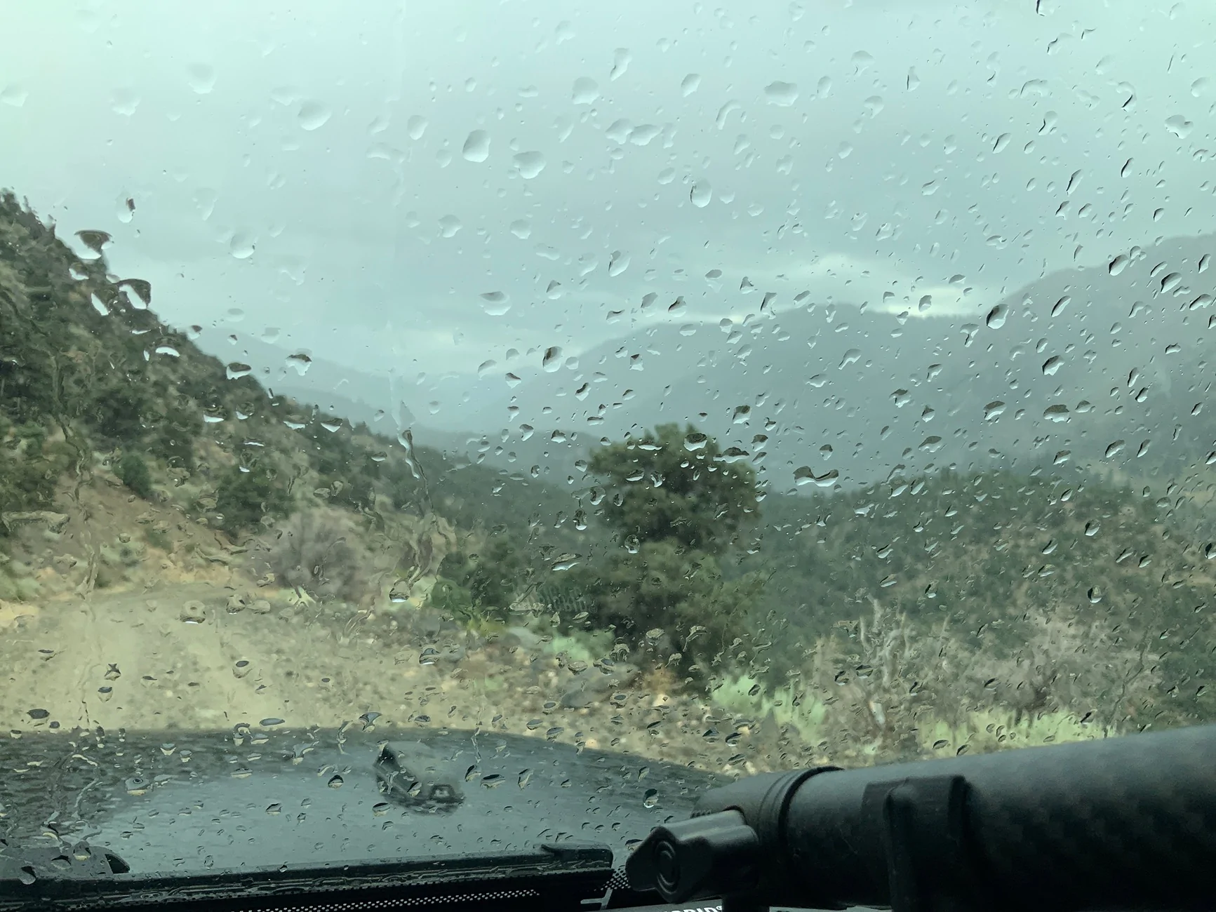
Back on the road. We drove over the hill on Wednesday to Gardnerville, NV for gas and lunch. The forecast rain started about noon as we drove into town and it was a deluge. And I had the soft top windows removed and no way I was going to drench myself trying to put them back in. Actually things didn’t get all that wet back there. Showers continued off and on all afternoon as we drove south. Burcham Flat Road from Walker:

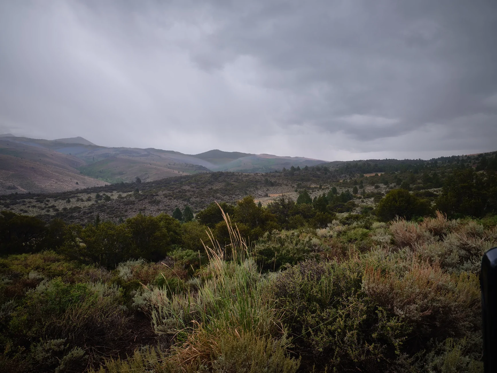
Perhaps clearing up as we continued south? Not really.
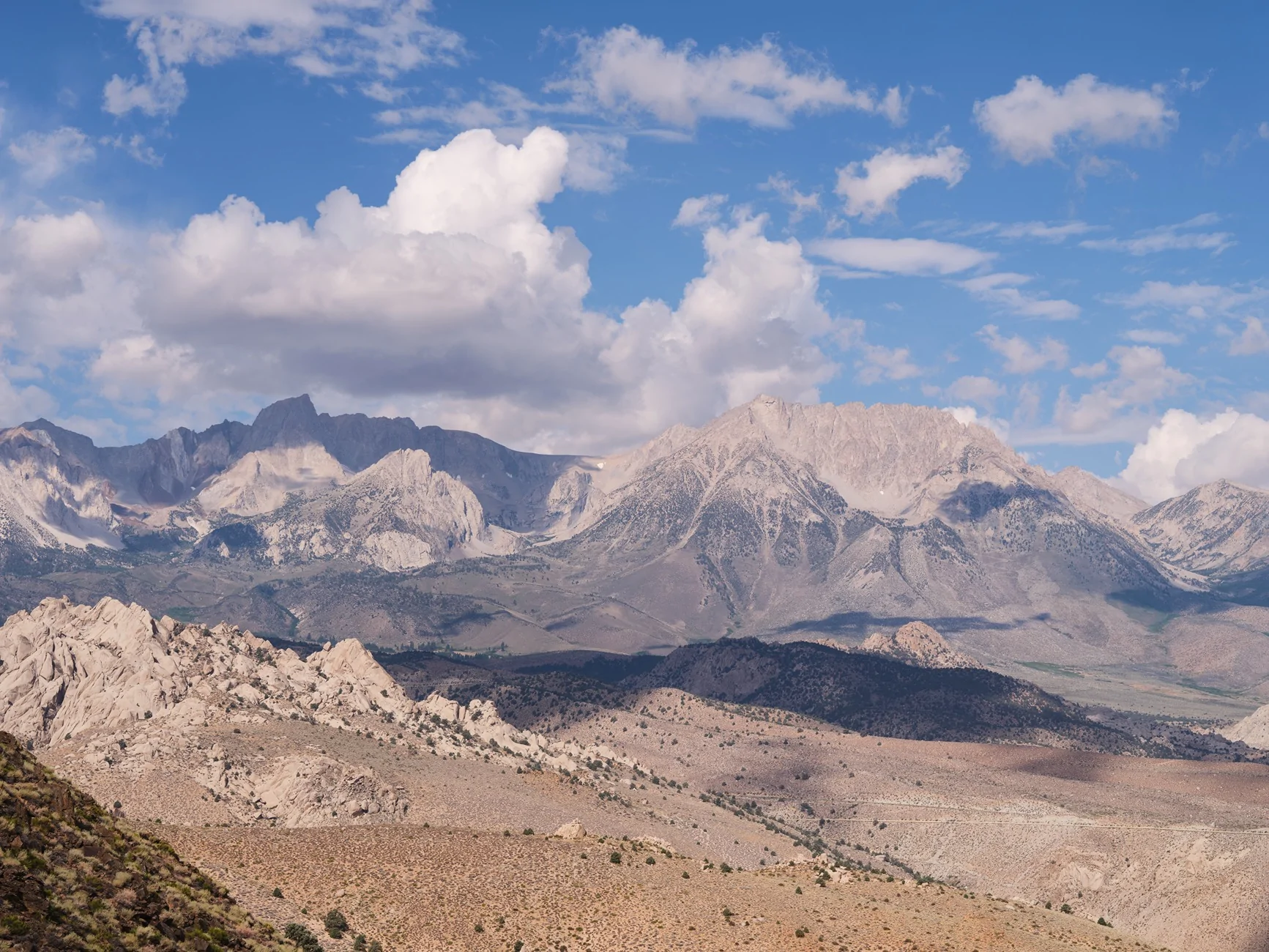
Our original plan was to camp near Sonora Junction but we scrapped that idea and continued onward to Bishop for a motel stay. Thursday morning started out sunny. More gas, coffee at the Looney Bean and up Coyote Valley Road with amazing views and loads of clouds in the sky.
After breaking her ankle in April, the wife cannot walk too far but is able to climb into the Jeep.

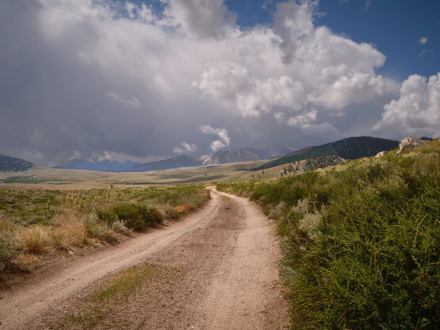
Much of Coyote Valley Road is coarse sand. There were puddles from yesterday’s rain but not much mud.
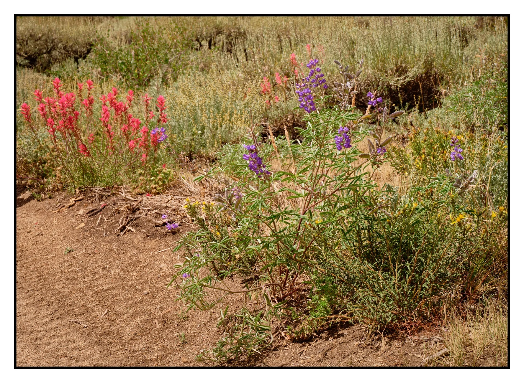
Scattered flowers along the way.

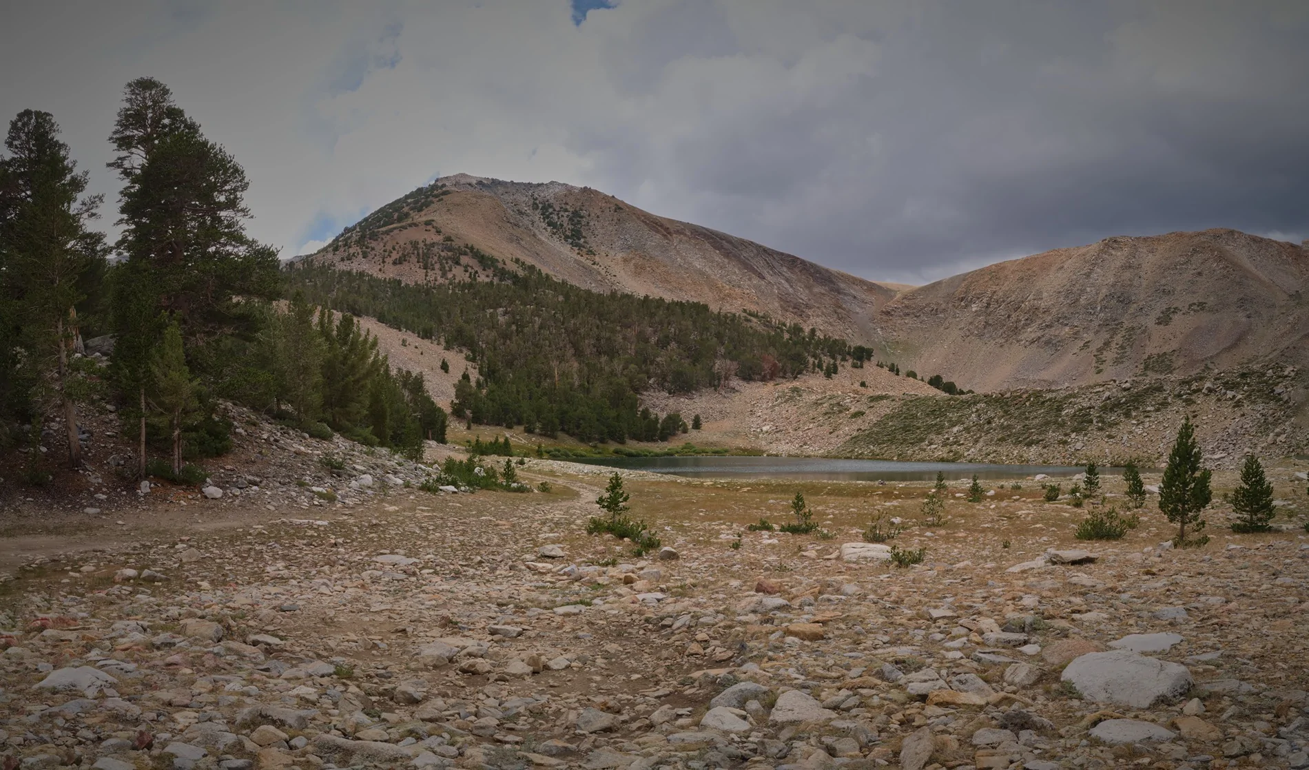
The trail turned to rocks as we climbed to Funnel Lake at 10,300 feet. This was an intended camping spot but the forecast was similar to Tuesday’s and at noon the overcast sky was darkening. It was only noon - we had started way earlier than intended - and hanging around the lake for the rest of the afternoon didn’t seem like much fun.

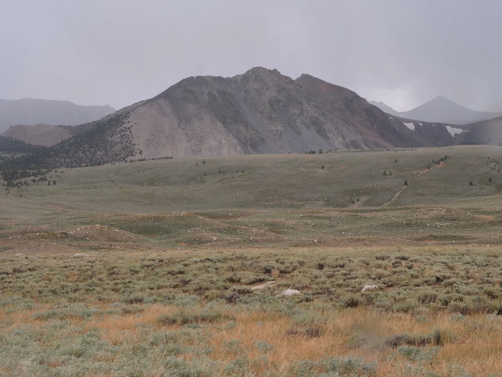
A bit earlier we passed the only other people we saw on this trail, a SoCal Rubicon pulling a trailer. They had camped at Funnel Lake and had not only rain but a lot of hail. Sprinkles started as we decided to drive out, highway 32E303 ,which was supposed to be more difficult than the way in. Coyote Flat is a large plateau at 10,000 feet. Most of the Sierra range to the west is not visible; the mountians were in the clouds, anyway.
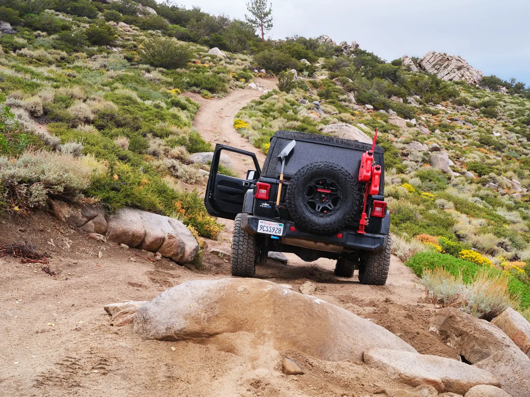
Leaving this plateau the trail became more rock strewn, mostly polished boulders and there is one half mile stretch that had signs posted “difficult” and here I had my only mishap. I bottomed out on this rock, stuck with three wheels spinning in the sand. Luckily I was able to wedge some loose rocks under the tires. Happy I didn’t have to dream up any other recovery solution, and if I had been paying more attention I have probably kept more to the left.
It may have been more difficult but 23E303 was way more scenic than the way in.
Mid afternoon we got to another flat sandy stretch. And it appeared to be clearing up especially to the south. We found a potential camping spot and decided to wait a couple hours watching clouds. Rain continued off and on as clouds drifted over the mountain. We were committed once happy hour came along.
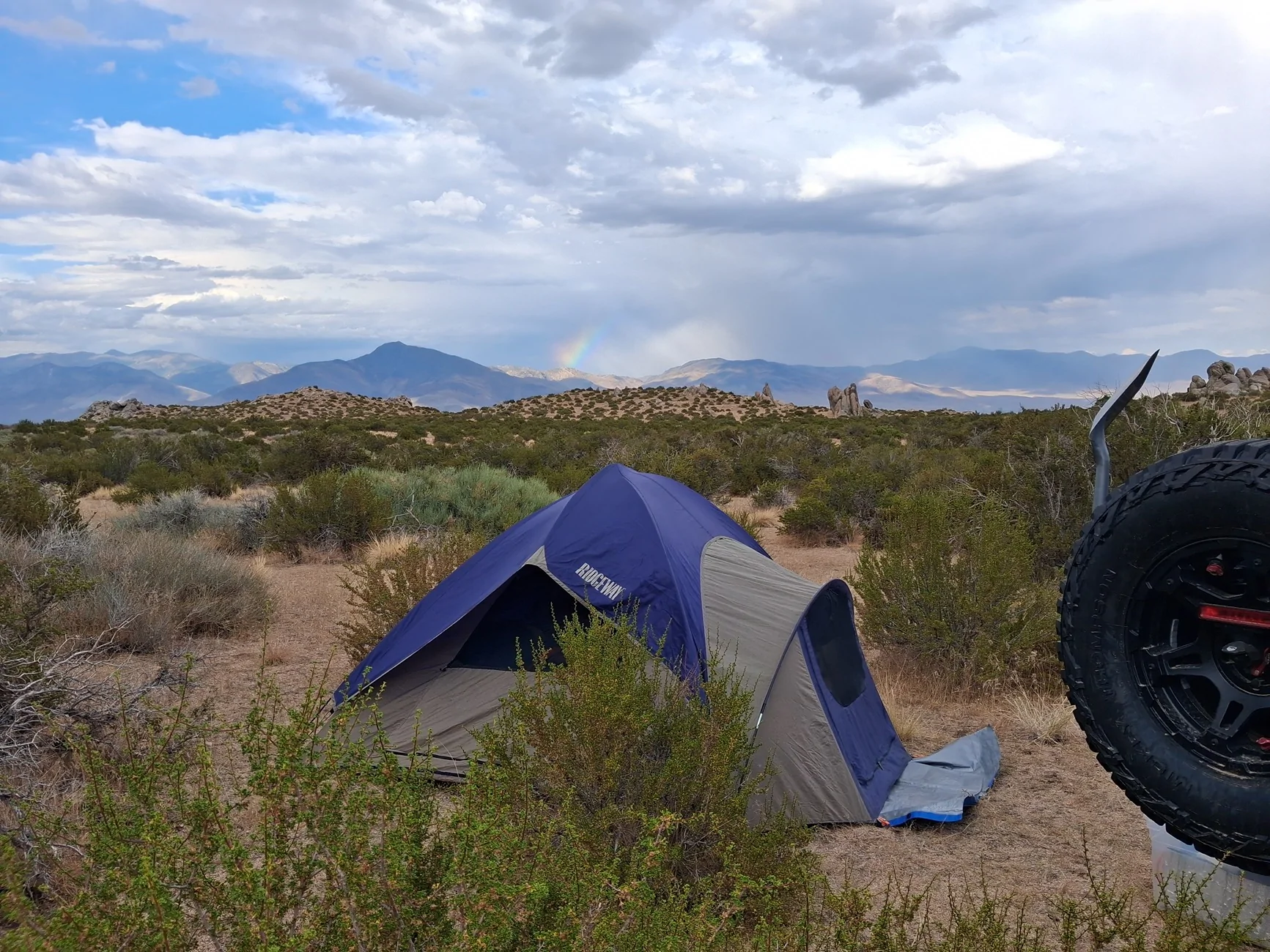
Still clouds and sprinkles continued but around six up went our 30 year old tent, and the sky continued to clear. Rainbow in the background:
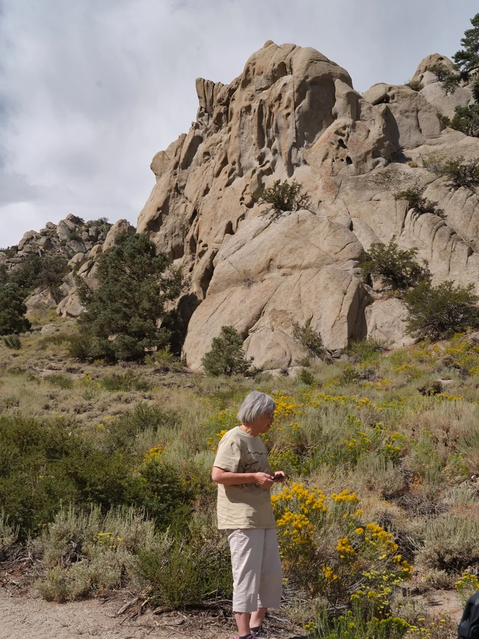
Completely clear that night with a bright sunny morning. A couple hours to drop down to Big Pine in Owens valley. Much of it sandy roads, with one steep rocky stretch. The rock formations were like the ones in Alabama Hills.
In Big Pine more coffee, more gas and enough wireless connection to make a reservation at the Dow Hotel in Lone Pine. Then across the valley to drive up White Mountain road to the bristlecone pine Patriarch Grove which was snowed in the last time we were here.
At 11,300 feet not many things growing here. Bristlecones don’t like company.
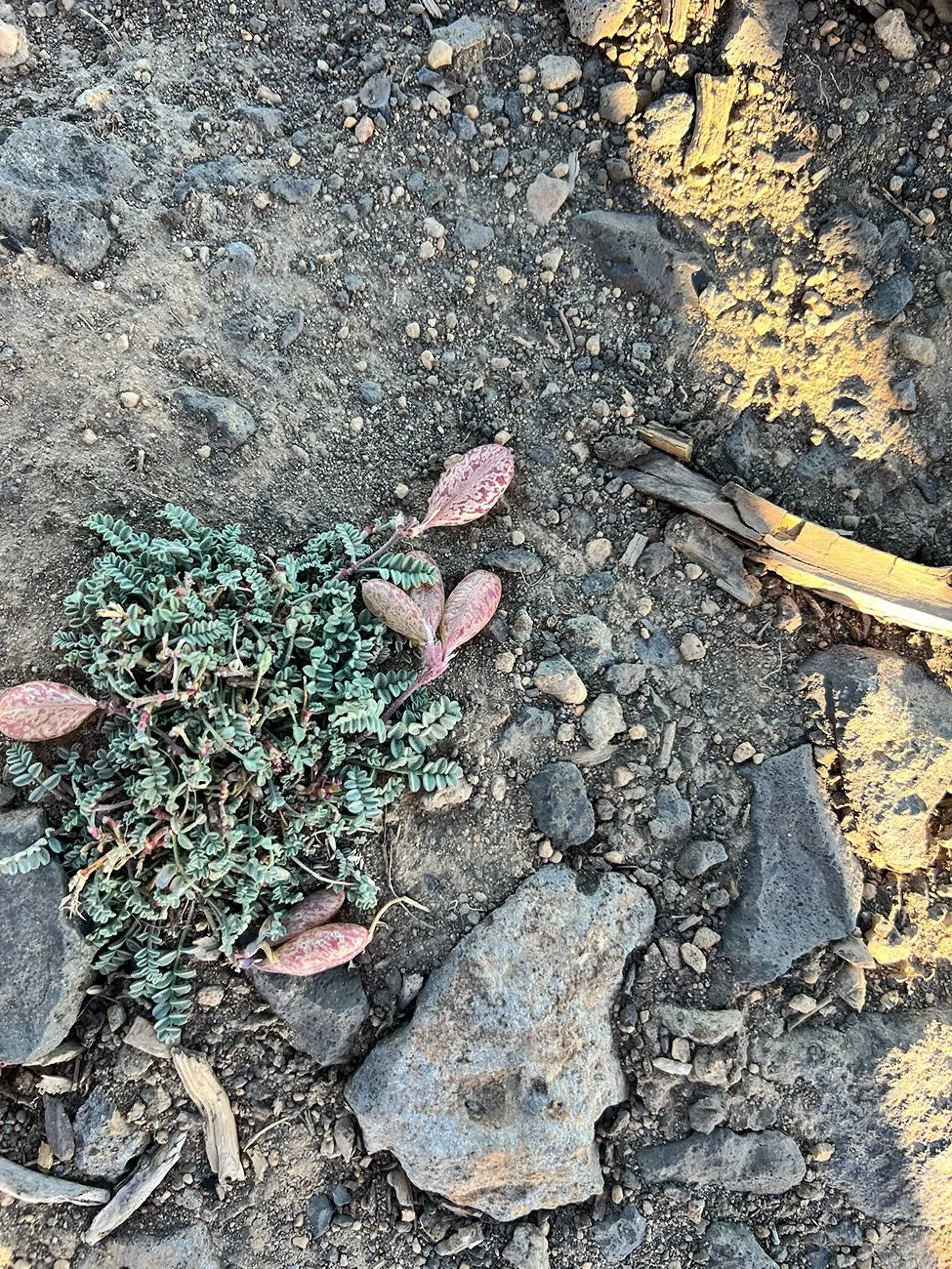
All sorts of small plants staying close to the ground though.

Many with flowers if you look closely enough. These are less than a quarter inch across.

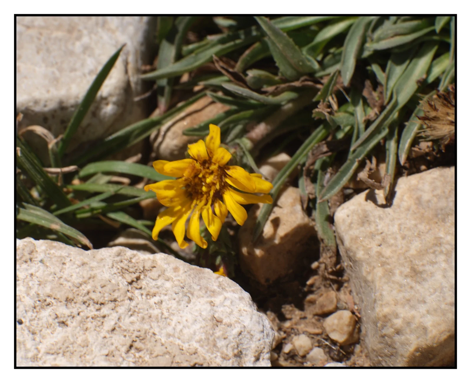
And a small yellow daisy among the rocks.
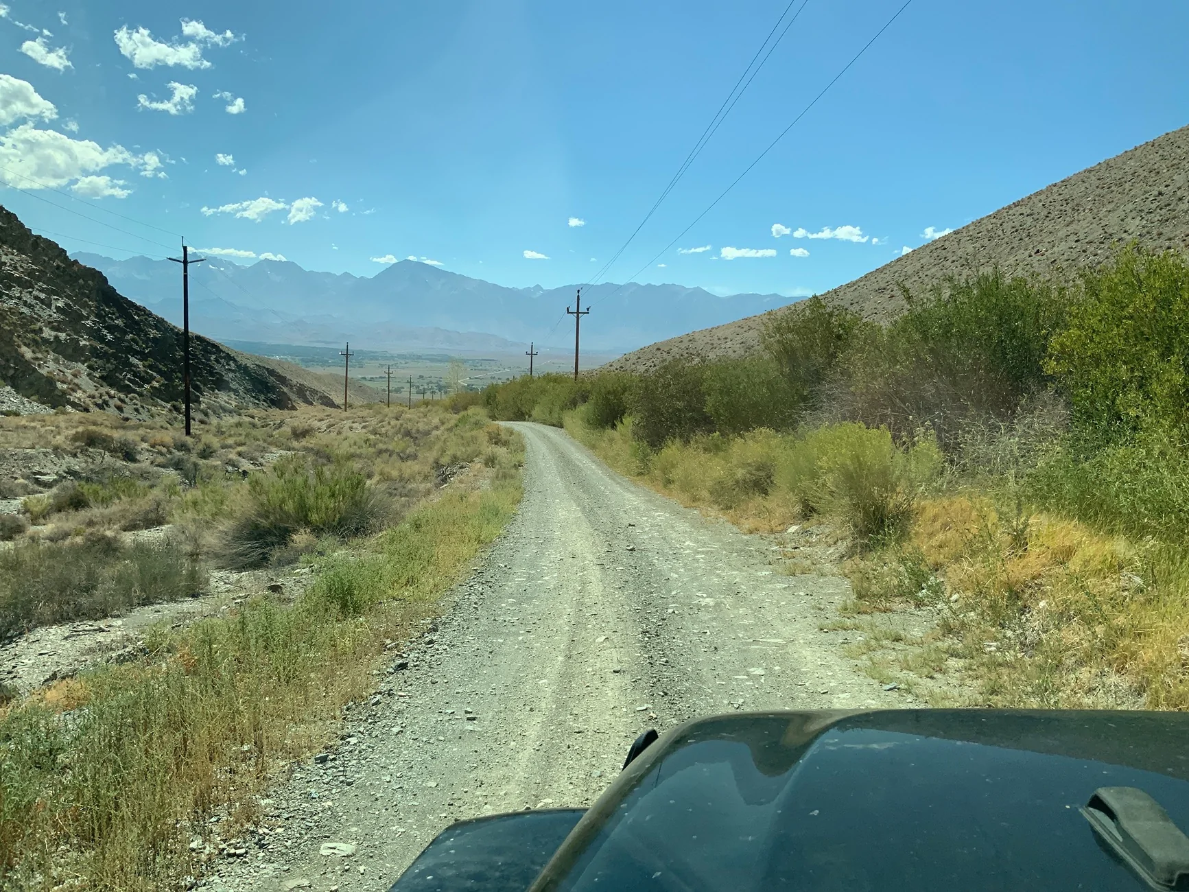
Down Silver Creek Road. There were several big horn sheep near the bottom but they hid in the rushes when we got out the cameras.
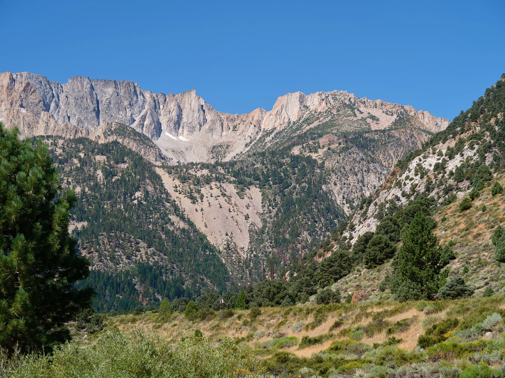
Saturday after an overnight stay in Lone Pine, the long ride back to the bay area. We drove over Tioga Pass and I have never seen so many people, most probably arriving around mid day. No parking at any of the standard scenic stops. Luckily we were going in the opposite directions. The eastern base of Tioga:
There was an 80 acre grass fire at Altamont pass into Livermore. OK in our direction with a four mile backup going the other way. I apologize for the photo dump. Nothing else I can think to do with all these pictures. Ha Ha.
Perhaps clearing up as we continued south? Not really.
Our original plan was to camp near Sonora Junction but we scrapped that idea and continued onward to Bishop for a motel stay. Thursday morning started out sunny. More gas, coffee at the Looney Bean and up Coyote Valley Road with amazing views and loads of clouds in the sky.
After breaking her ankle in April, the wife cannot walk too far but is able to climb into the Jeep.
Much of Coyote Valley Road is coarse sand. There were puddles from yesterday’s rain but not much mud.
Scattered flowers along the way.
The trail turned to rocks as we climbed to Funnel Lake at 10,300 feet. This was an intended camping spot but the forecast was similar to Tuesday’s and at noon the overcast sky was darkening. It was only noon - we had started way earlier than intended - and hanging around the lake for the rest of the afternoon didn’t seem like much fun.
A bit earlier we passed the only other people we saw on this trail, a SoCal Rubicon pulling a trailer. They had camped at Funnel Lake and had not only rain but a lot of hail. Sprinkles started as we decided to drive out, highway 32E303 ,which was supposed to be more difficult than the way in. Coyote Flat is a large plateau at 10,000 feet. Most of the Sierra range to the west is not visible; the mountians were in the clouds, anyway.
Leaving this plateau the trail became more rock strewn, mostly polished boulders and there is one half mile stretch that had signs posted “difficult” and here I had my only mishap. I bottomed out on this rock, stuck with three wheels spinning in the sand. Luckily I was able to wedge some loose rocks under the tires. Happy I didn’t have to dream up any other recovery solution, and if I had been paying more attention I have probably kept more to the left.
It may have been more difficult but 23E303 was way more scenic than the way in.
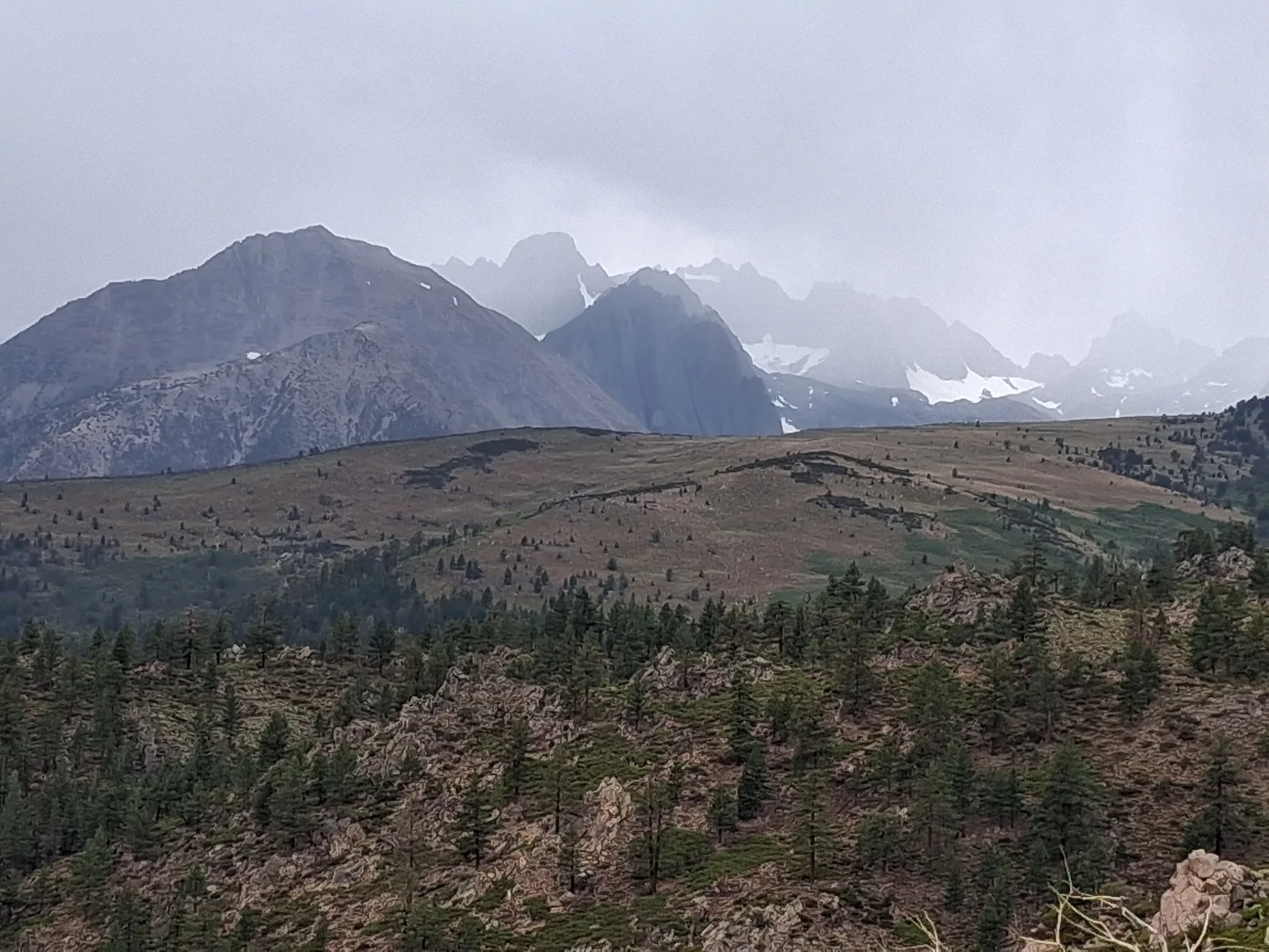
Mid afternoon we got to another flat sandy stretch. And it appeared to be clearing up especially to the south. We found a potential camping spot and decided to wait a couple hours watching clouds. Rain continued off and on as clouds drifted over the mountain. We were committed once happy hour came along.
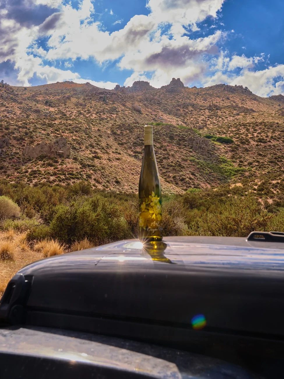
Still clouds and sprinkles continued but around six up went our 30 year old tent, and the sky continued to clear. Rainbow in the background:
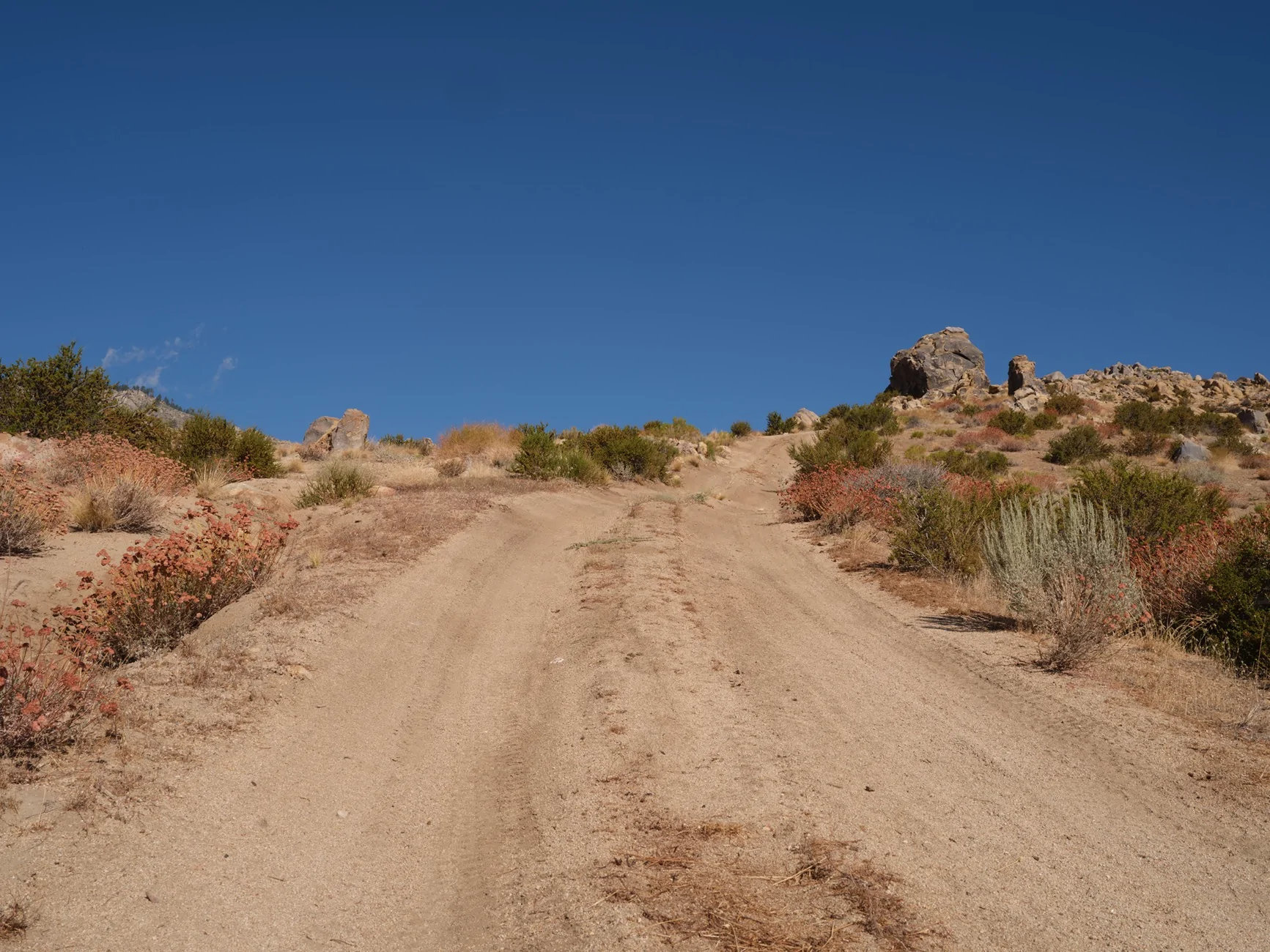
Completely clear that night with a bright sunny morning. A couple hours to drop down to Big Pine in Owens valley. Much of it sandy roads, with one steep rocky stretch. The rock formations were like the ones in Alabama Hills.
In Big Pine more coffee, more gas and enough wireless connection to make a reservation at the Dow Hotel in Lone Pine. Then across the valley to drive up White Mountain road to the bristlecone pine Patriarch Grove which was snowed in the last time we were here.
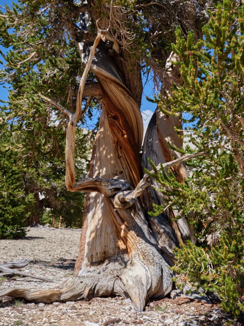
At 11,300 feet not many things growing here. Bristlecones don’t like company.
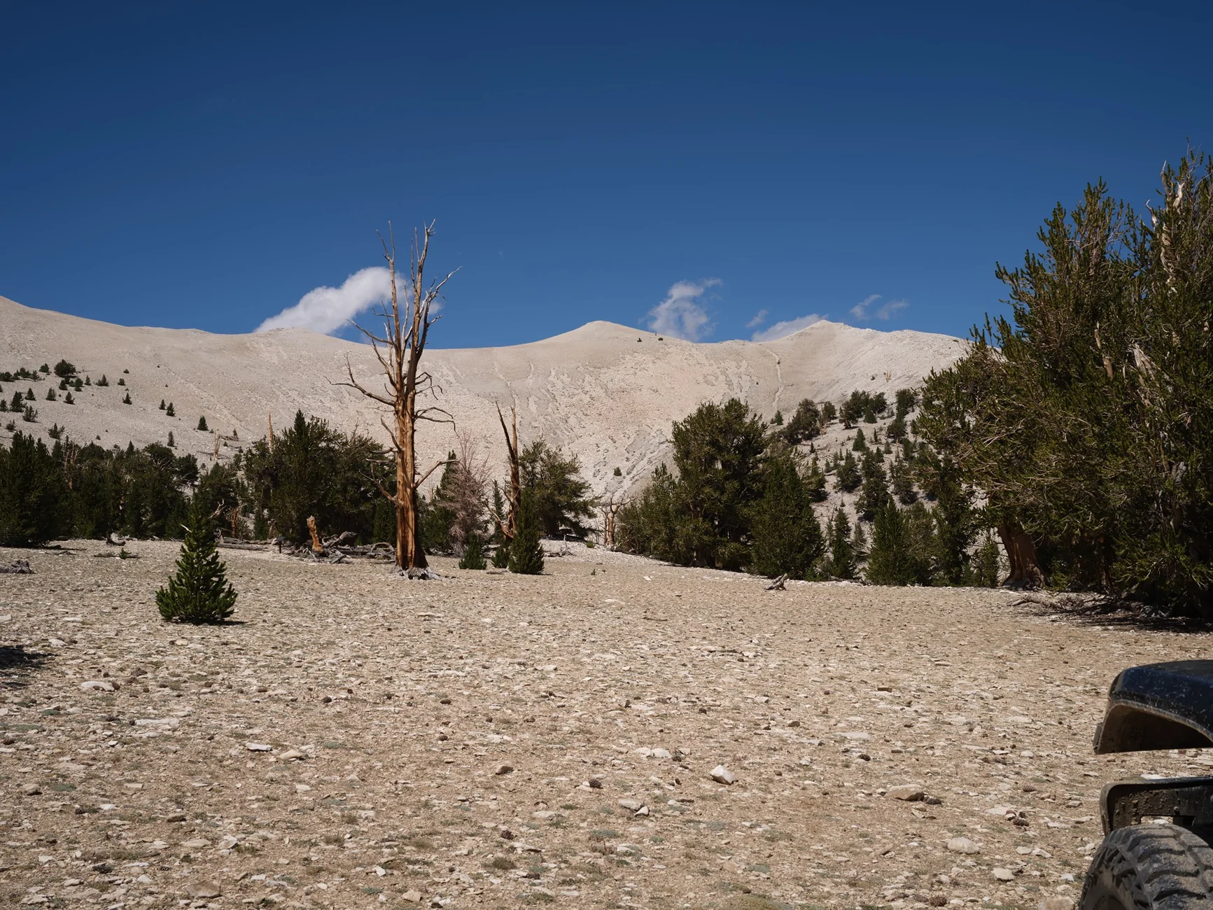
All sorts of small plants staying close to the ground though.
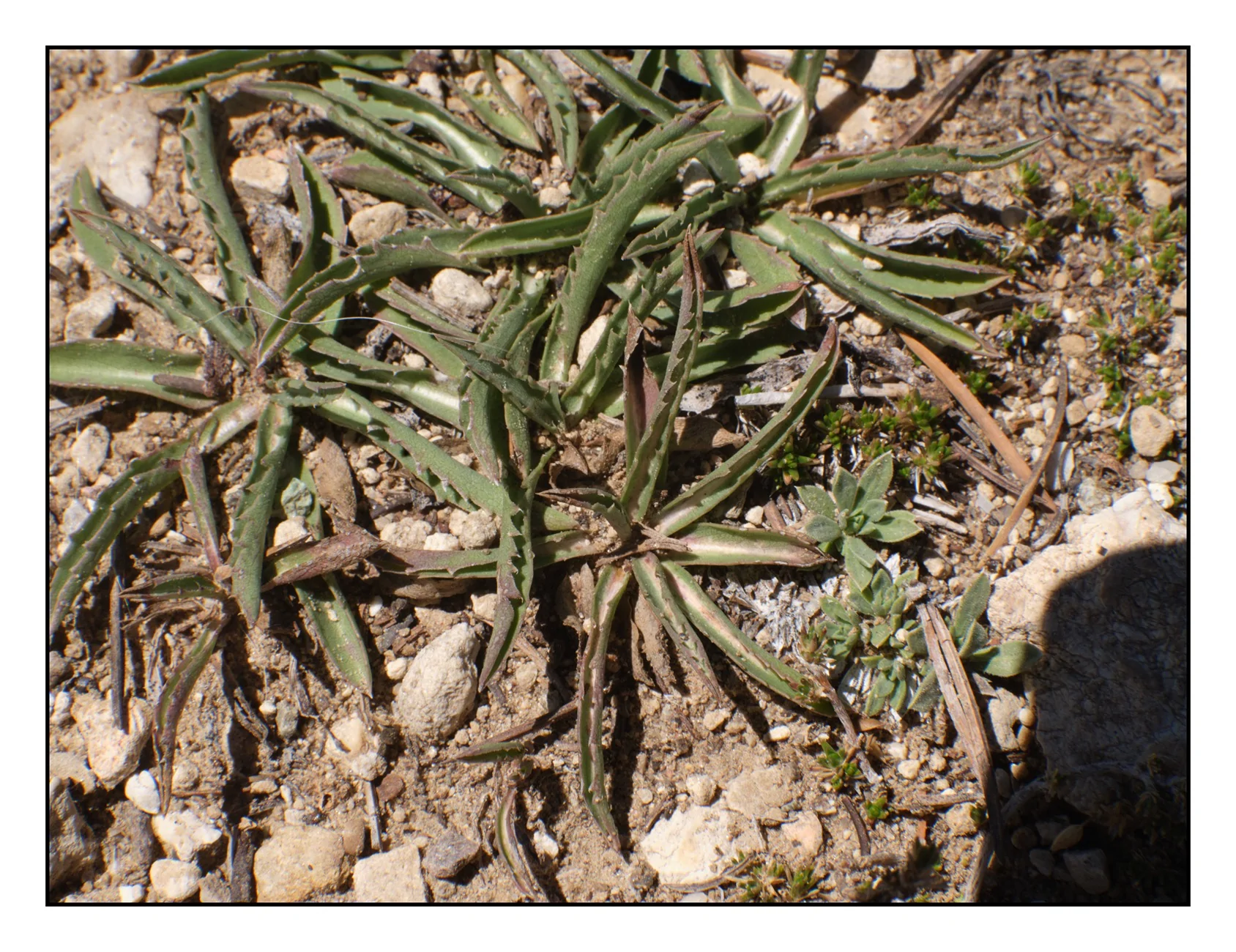
Many with flowers if you look closely enough. These are less than a quarter inch across.
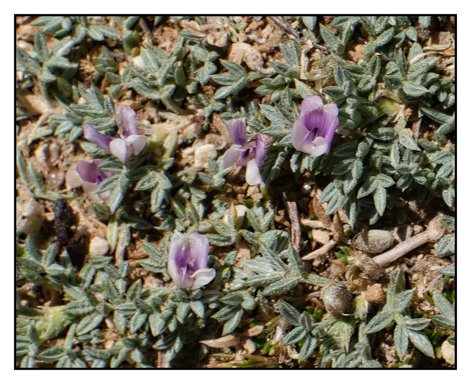
And a small yellow daisy among the rocks.
Down Silver Creek Road. There were several big horn sheep near the bottom but they hid in the rushes when we got out the cameras.
Saturday after an overnight stay in Lone Pine, the long ride back to the bay area. We drove over Tioga Pass and I have never seen so many people, most probably arriving around mid day. No parking at any of the standard scenic stops. Luckily we were going in the opposite directions. The eastern base of Tioga:
There was an 80 acre grass fire at Altamont pass into Livermore. OK in our direction with a four mile backup going the other way. I apologize for the photo dump. Nothing else I can think to do with all these pictures. Ha Ha.
Sponsored
Last edited: